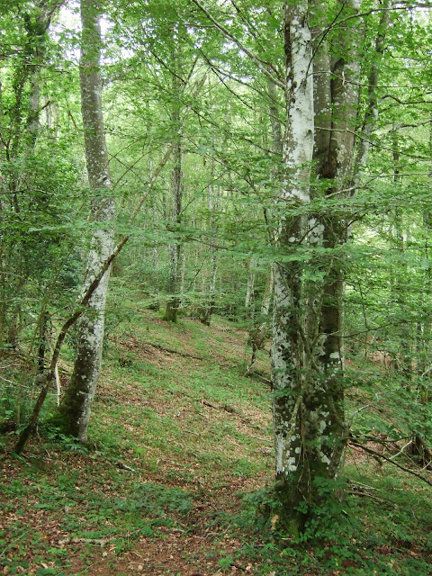
The first part of this walk took me through what is often referred to in England as broad-leaved woodland.
Una imagen tomada en el bosque por el que pasa la primera parte de esta caminata
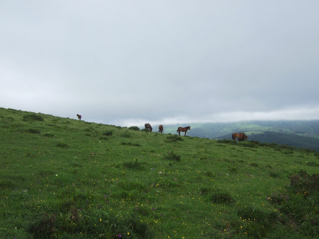
Below to the NE is the Alsa reservoir, which I was to see better from a distance than down at the shore
Abajo al NE está el embalse de Alsa, hacia donde me iba a dirigir más tarde
The highlight of the walk where the abundant wild flowers:
Lo que más placer me daban eran las muchas flores silvestres:
I walked down to the village of San Miguel de Aguayo, which I'd discovered for the first time last autumn, and wandered over to the church
Bajé a San Miguel de Aguayo, que visité por primera vez el otoño pasado, y me acerqué a la iglesia
Very near Santa Olalla is Santa María de Aguayo, which exemplifies the ancient and modern of river-related technology; the old mill in ruins and just below that the pumps to send water uphill as part of the bi-transfer system in Cantabria
I then took a concrete road, of which there seem to be several in the area, that makes its way up the hill behind the church to see if I could get a decent view of the reservoir. The increasing cloud cover made climbing higher a non-starter
Hay unos cuantos caminos de cemento en la zona, y uno sube la colina detrás de la iglesia. No merecía la pena subir al Cueto porque la cima estaba dentro de la nube, pero decidí seguir el camino confiando que me ofrecería una vista, aunque fuera reducida, del embalse
 |
| Embalse de Alsa |
Behind me I could see the hillside I'd walked over earlier on that morning
Detrás quedaba la colina que había atravesado esa mañana
 |
| San Miguel de Aguayo |
Swathes of mist had been engulfing me well before I reached the reservoir, and I stayed long enough to take this photo before retreating
Para cuando llegué al embalse, la neblina llevaba rato cubriendo todo
The mist came and went as I headed towards the next village in the valley
Cambié de dirección y me dirigí al siguiente pueblo del valle
 |
| Santa Olalla de Aguayo |
Very near Santa Olalla is Santa María de Aguayo, which exemplifies the ancient and modern of river-related technology; the old mill in ruins and just below that the pumps to send water uphill as part of the bi-transfer system in Cantabria
Muy cerca de Santa Olalla está Santa María de Olalla. Al llegar al río Irbienza vemos las formas de aprovechar del río que ha habido en épocas distintas: detrás del molino está la planta de remonte que forma parte del bitrasvase del Ebro
I walked past the most eye-catching building in the village on the last leg of the hike.
foxgloves in evidence as I walked down towards the pump plant. estas dedaleras jalonan la bajada al río
El edificio más llamativo del pueblo
After leaving the road I indulged in some challenging encounters with barbed wire fences and boggy paths but was rewarded with one or two pleasant landscapes before reaching the end of the loop.
Continué por la carretera un poco antes de coger una cambera que iba en paralelo y que se complicaba con vallas de alambre de espino y zonas embarradas. Una imagen de despedida antes de completar el círculo.
Track
Track


No hay comentarios:
Publicar un comentario
Please feel free to leave a comment!
¡Agradezco tus comentarios!