miércoles, 25 de agosto de 2021

El Cordel de las Merinas / In the footsteps of sheep drovers


Siempre me ha llamado la atención la trashumancia. Cuando vivía en Andalucía era desde la perspectiva del sur: los pastores buscaban los pastizales del norte cuando apretaba el calor en verano. Una ruta que hice la semana pasada me animó a investigar un poco sobre este ejemplo de la vida de antaño (el Concejo de la Mesta se estableció en el siglo XIII) desde la óptica del norte de España. 
Muchos rebaños llegaban a Castilla desde Extremadura por la Cañada Real Leonesa Oriental y luego cogían vías pecuarias secundarias que incluían el Cordel de las Merinas, que pasaba cerca de Aguilar de Campoo. Un cordel tenía unos 35 metros de anchura - la mitad de la cañada. Llegaban al norte de Palencia en la primera quincena de junio, buscando alguno de los 66 puertos donde podían pastar las ovejas. 
10 de estos estaban en el municipio de Brañosera. El camino que anduve seguía el trazado del último tramo de esta migración, y en parte debido a la ausencia de poblaciones en el recorrido no me fue difícil imaginar el paso de los pastores con sus rebaños hace un siglo. Los trashumantes permanecían en el norte hasta octubre cuando emprendían el regreso al sur (más pausado que la ida por adaptar el paso a la marcha de las ovejas preñadas), para evitar los fríos de la meseta y el consumo de piensos en invierno. Parece ser que la mayoría de los pastores eran oriundos del norte y el viaje al sur significaba separarse de sus familias.
Desde el final de siglo XIX se empezaba a usar el ferrocarril y luego la carretera para transportar los rebaños, y no sé cuando fue la última vez que el camino que cogí fue testigo del paso de las ovejas, pero puedo decir que pensar en ello me hizo reflexionar sobre los cambios que trae el tiempo y como cierta vida (de la España vacía) ha pasado a la historia. Era aquella una vida muy dura evidentemente, pero los pastores tenían un conocimiento acusado de la naturaleza que escasea en la España urbanizada de hoy. La trashumancia es la quintaesencia de la ganadería extensiva, y la aportación para el medio ambiente y la reducción de riesgo de incendios han salido perdiendo con su declive.
I was living in the south of Spain when I first heard about the transhumance, or migration of flocks of sheep from the south of Spain in May/June to better grazing land over the summer in the north of the country. This activity dates back to the 13th century, though the advent of the railway and later on the decline in rural life have all but extinguished it. The pastures of the north of Palencia in Castile were one of the destinations for drovers and their flocks. The journey would take between four and six weeks and they would remain in the north till the beginning of October when the return journey would commence. 
A walk I did last week follows the last part of one of these migratory routes, and thanks to the absence of any built-up areas it was not difficult to imagine the landscape as it would have been a century ago with the animals making their way northwards. I must say it made me ponder, and not for the first time, the changes that time brings and how lifestyles become things of the past. It was a hard life, to be sure, but paradigmatic of a time when nature was better served and understood than in today's urban Spain, which largely turns its back on the countryside and those that live there. In short, it is the purest example of extensive farming, the benefits of which to the environment are no longer in evidence as can be seen for example with the number of wildfires that would be reduced were vegetation along the traditional migratory routes to be cleared as they were in former years.
"El Cordel de las Merinas" de Miguel Hernández Nájera. 1892. Museo del Prado


Las cañadas a menudo seguían caminos ya existentes, como las calzadas romanas. Empecé mi homenaje particular a la trashumancia en Nestar, cerca de Aguilar, cruzando un puente romano. 
The migratory routes used existing trails, like Roman roads. I began my own walk in Nestar, crossing a Roman bridge

La pista se dirge al norte, y en seguida hay una señal de abandono 
A track heads north, and there is soon a sign of abandonment

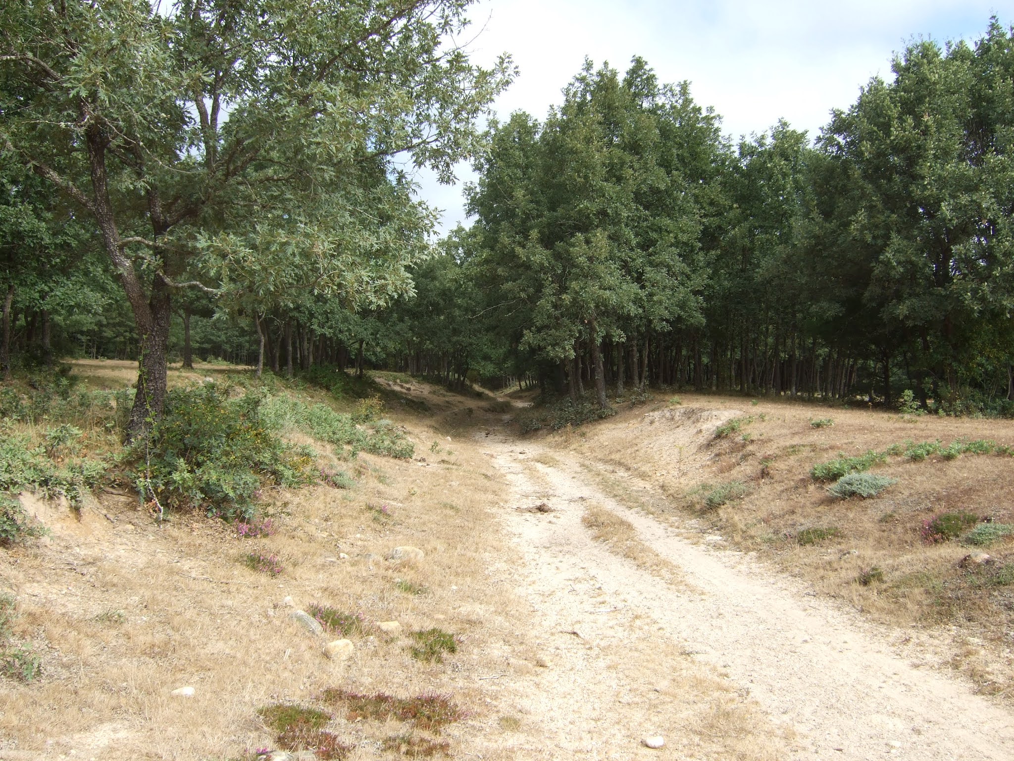
Dejamos la pista y vamos por senderos y caminos varios
Leaving the track, I go along various paths and ways


Cruzamos la vía de ferrocarril de La Robla
Crossing a railway line that is still in use

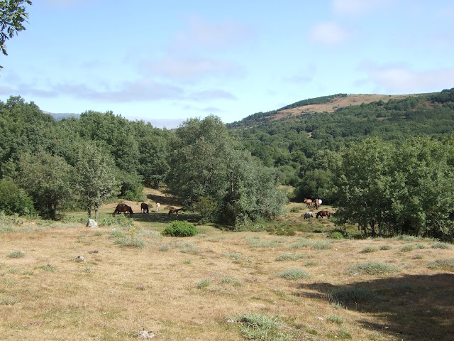
Durante el trayecto vi muchas criaturas, incluido un zorro, que no tenía tiempo para posar para la foto, pero ¿ovejas? Ni merinas ni churras.
During the walk I saw many creatures, including a fox, who didn't stop to have its picture taken, but sheep? No merinos, or any other breed for that matter

Después de un tramo corto por carretera pasamos por un prado y luego continuamos en la misma dirección dejando el vallado que separa Cantabria y Palencia a la izquierda. Me imaginaba las disputas que habrá habido entre pastores trashumantes por una parte y pastores estantes y otros que labraban la tierra por otra sobre el derecho de uso de la misma
After a short stay on a B road I crossed a meadow and then maintained the northerly route, keeping the fencing that separates Cantabria and Palencia on my left. I imagined the disputed claims to land that must have led to arguments between the drovers and those who worked on the land all year round

Esta zona me gustaba bastante
I liked the next part of the walk the best


Cuando se hace menos evidente por donde caminar por el incremento de vegetación hay que buscar un sitio para pasar al lado palentino del vallado.
When it becomes less obvious which is the best way to go because of the increase in vegetation, it's time to look for a stile to cross over onto the Palencia side of the fence

Al hacerlo descubrimos una pista y poco a poco vamos más hacia el NO. Al fondo aparece la sierra que acaba en el collado de Somahoz, que alcanzaremos en la siguiente salida
When you find it, you come across a much used track and it gradually takes you to the NW. In the distance is the mountain range that leads down to the Somahoz col, which I'll get to on my next outing
Sierra de Peña Labra

Estas vacas bebían del arroyo que va al lado de la pista, cerca ya de Valberzoso (municipio de Brañosera)
These cows were drinking from the brook that runs alongside the track, near the village of Valberzoso. They made me think of prisoners on the chain gang

Entré en el pueblo, y me acerqué a la iglesia románica. Por suerte, mientras estaba allí una guía la abrió para enseñarla a unos turistas. 
I decided to explore the village and reached the romanesque church. Luckily, while I was there a guide opened it up for a group of tourists so I stepped inside. 
Iglesia de Valberzoso

Aproveché para entrar, y me impresionó el retablo del XV siglo
I was taken aback by the 15th century altarpiece   


Volví a Nestar por el mismo camino
I returned to Nestar the same way


Un uno de las pozas que hay esta rana no tenía problemas en dejarse inmortalizar
In one of the pools along the way this frog had no issues with posing for posterity

Me llamó la atención esta caseta alejada de la solana para el perro guardián del ganado 
I'd noticed this kennel placed in the shade on my way to Valberzoso

Al finalizar la caminata se habían quitado las nubes de la mañana y la montaña se veía en el horizonte
Well before the end of the walk the clouds had dispersed and the mountains appeared on the horizon


viernes, 20 de agosto de 2021

Peñas, un Ojo y un Gigante / An eye and a giant in the mountains


Las últimas veces que he conducido por la Ruta de los Pantanos me ha llamado la atención la indicación a la Senda del Gigante del Valle Estrecho. Al recabar información vi que es un caminín de poca distancia. Pensé que podría enlazarla con alguna ruta al lado derecho de la carretera y de paso aprovechar de las temperaturas suaves que estamos disfrutando este mes.
On my occasional visits to northern Palencia I've noticed a signposted short walk named after the "Giant of the Narrow Valley". I found a longer hike I could tag this onto at the end while taking advantage of the unseasonably cool temperatures we're enjoying.
Santibáñez de Resoba

De Santibañez (uno de los pueblos del Valle Estrecho) sale una pista que te lleva directamente a la Peña Santa Lucía. La seguí durante casi una hora. Al poco de salir del pueblo cogí dos ramales seguidos a la izquierda y luego otro más a la izquierda hacia arriba.  Dejé la pista para acercarme a otra peña y subí a la izquierda por una ladera herbosa, con las estribaciones de Peña Escrita visibles delante de mí.
A trail runs from Santibáñez, one of the villages in the Narrow Valley, to a mountain called Santa Lucía. I followed this for the first part of the walk. After taking a couple of left turnings, one straight after the other, and later on another fork to the left, I left the trail and headed up a grassy slope towards Peña Escrita.

Continué por un sendero que atraviesa el escobal, y luego por la ladera hacia el collado
I carried on up a path through the vegetation and then opted to continue along the hillside up to the col

donde me encontré con tres montañeros, que también se dirigían a la peña, aunque venían en sentido inverso
where I met three other hikers, who were also on their way to the top, though they'd come from Santa Lucía

Desde la cima se ve Curavacas al fondo, y la pista que termina en la base de Santa Lucía
From the top you can see Curavacas mountain in the distance and the trail that leads to the foot of Santa Lucía


Hacia el este, el cercano pantano de Ruesga
To the east is the nearby Ruesga reservoir

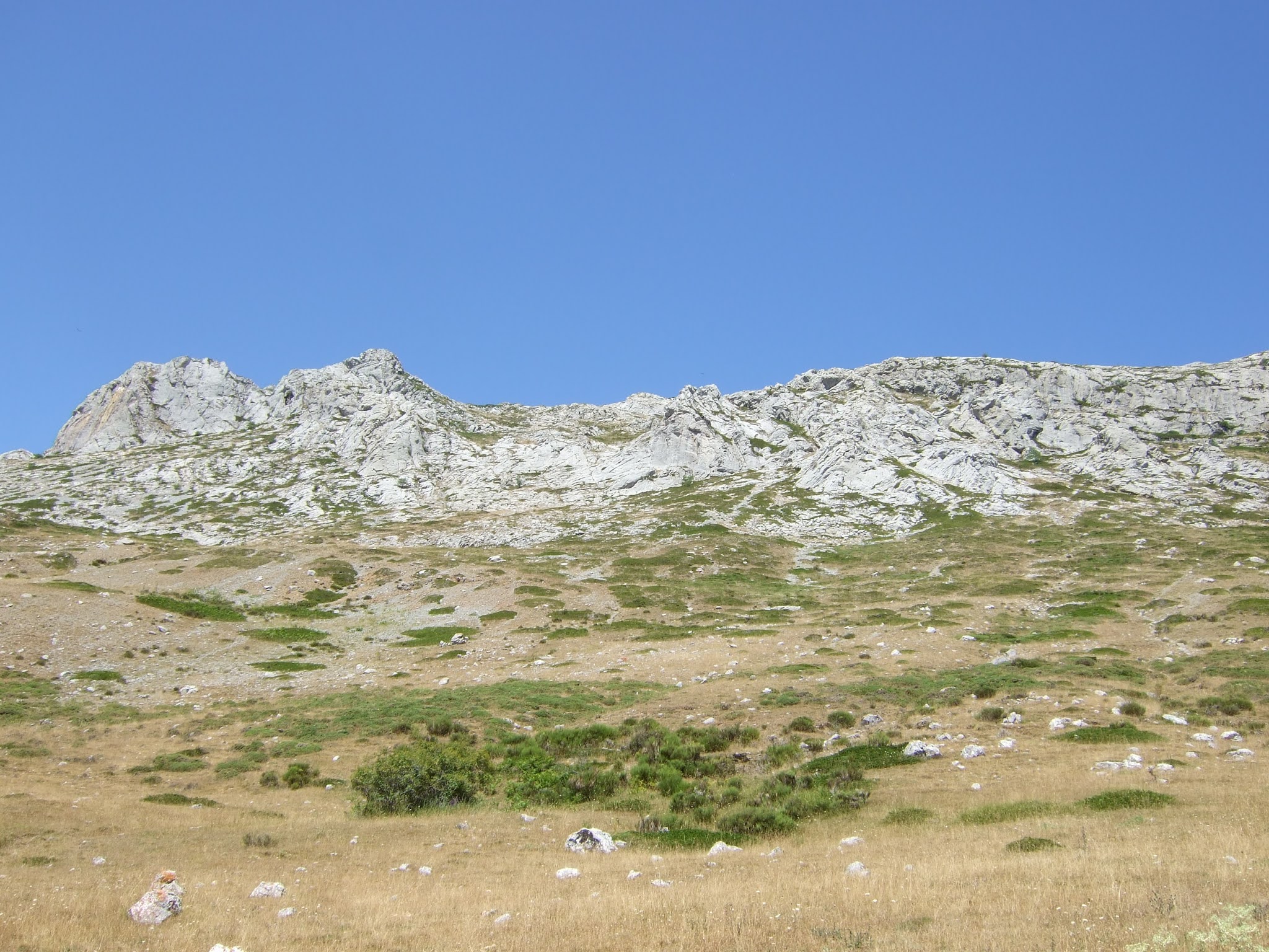
Al NE Peña Carazo y en el horizonte, justo encima de la nube, Peña Labra, y el cordal hasta Peña Cebollera
To the NE Peña Carazo and on the horizon other peaks on the Cantabria-Palencia border
 

Al oeste está la cercana cumbre de Santa Lucía. 
To the west Santa Lucía is quite near.


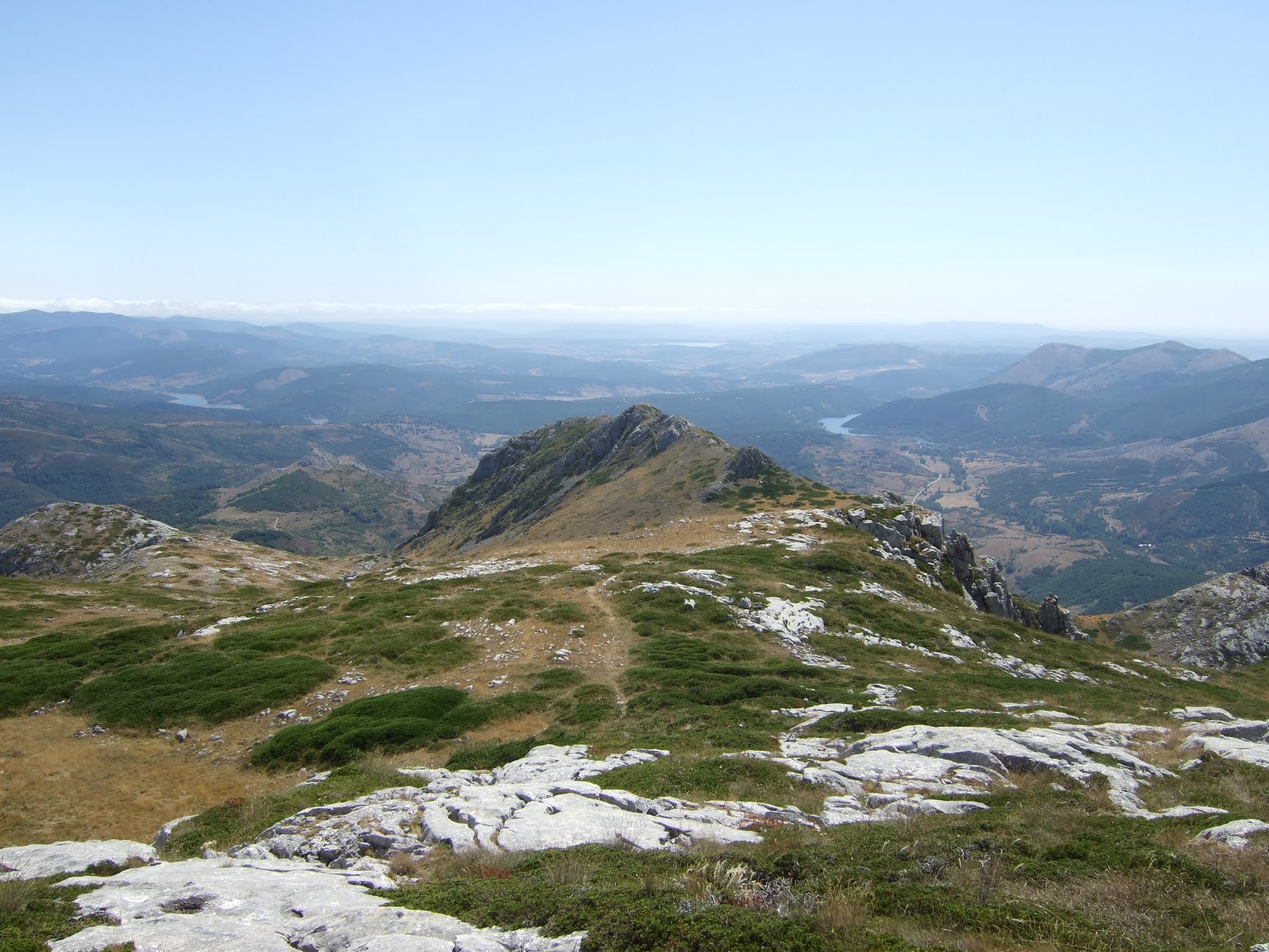
Voy hacia allá y saco esta foto de la peña que acabo de dejar, y que no se ve desde la cumbre de Santa Lucía. A la izquierda de la peña está el pantano de Requejada, a la derecha el de Ruesga, y al fondo el de Aguilar.
So I make my way over, taking this photo of the summit I've just left and three reservoirs before they disappear from sight. To the left of the summit is Requejada reservoir, with Ruesga's to the right, while in the distance you can just make out Aguilar's.
Peña Escrita

La cima de Santa Lucía no es muy llamativa en sí, aunque tiene un par de casetas que proporcionan buena sombra. Pero las vistas de la Montaña Palentina son excelentes:
Santa Lucía's summit isn't particularly striking, though there are a couple of huts that give good shade. However, the views of the Palencia mountains are excellent:

El pueblo de Vidrieros debajo de Curavacas
Vidrieros village below Curavacas

Triollo, el pantano de Camporredondo, y el Espigüete
The village of Triollo, Camporredondo reservoir and Espigüete mountain behind towards the right

Así se ve desde el oeste hacia el este:
This is how it looks from west to east:


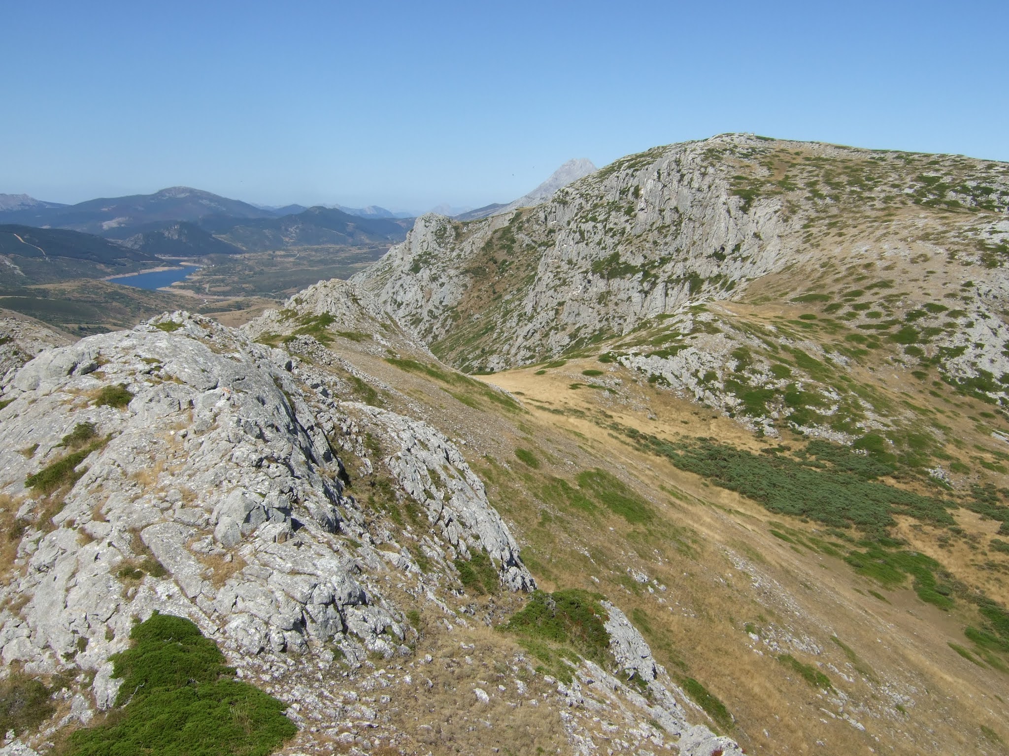
Bajo por un sendero hacia el SO y llego a un accidente geológico interesante
I take a path down to the SW and get to this interesting geological feature - the Lastra Eye it's called
Ojo de La Lastra


Ya que voy solo, no me atrevo a pasar por el agujero al no saber lo que me encontraré más abajo. Así que seguí un par de hitos a la izquierda de estas rocas. No estaba muy clara la cosa, así que en lugar de bajar directamente seguí hacia el este y arrimándome a la pared bajé muy cautelosamente por los restos de una senda
As I'm on my own I decide not to go through the eye as I don't know what I'll find lower down. So I followed a couple of cairns to the left of these rocks. The path fizzled out, so instead of going straight down I carried on to the east and keeping close to the rock face I slowly made my way down what was the nearest to a path I was likely to find 

Una vez abajo vi que había un posible camino menos incómodo un poco más al este del Ojo, pero conseguí llegar sin percance a la Hoya de Juan Gutiérrez (he visto este nombre en un mapa solamente), y seguir ocasionales hitos y senderos hacia la carretera.
Once I got to the bottom of the hillside I saw what looked to be a less tricky descent more to the east of the Eye, but anyway, with the help of the odd cairn and path I got down to the road.
Desde abajo una mirada hacia atrás. El Ojo está en el 2º alto de la izq. En el track indico por donde bajé.
A look back from down below. The Eye is in the 2nd promontory on the left. The Gps track (yellow) shows where I came down, and the other possible option is also marked.

Ya en la carretera ando medio kilómetro hacia la izquierda hasta la entrada a la senda del gigante. Desde más arriba miro hacia donde he andado
Once I was on the road I walked to the left and in not much more than five minutes I was at the start of the Giant's Walk. The first part is uphill and from there I look back at the two summits I was on earlier
Santa Lucía & Peña Escrita

Más hacia el oeste: Espigüete a la izq. y la cima de Pico Murcia, que se asoma en el centro de la imagen
Over to the west: Espigüete on the left, with the summit of Pico Murcia just appearing in the centre

Por el lado meridional vemos Peña Redonda, y a su derecha el cordal en que algunos (con bastante imaginación) han visto la forma de un gigante tumbado. Abajo está el pueblo de Rebanal de las Llantas
To the south Peña Redonda stands out and to its right is the ridge that some imaginative folk decided looked like a giant lying down and turned to stone. Below is the village of Rebanal de las Llantas


La senda sigue hacia otro mirador donde se explica la leyenda del gigante y cómo las rocas llegan a representar el cuerpo del mismo. Al fondo, a la izquierda están los Picos Almonga y Las Cruces, de feliz recuerdo para un servidor.
The path carries on to another viewpoint where the giant's legend is explained (not in English I'm afraid). In the distance are a couple of peaks that bring back memories of a good walk

En lugar de volver por donde vine, después de subir del mirador, bajo directamente hacia Santibáñez de Resoba. Después de bajar un poco descubro un sendero y me lleva a un arroyo. 
Instead of going back the way I came, after walking up from the viewpoint, I headed straight down towards the village I set off from.  After a bit I came upon a path and, keeping the trees to my right it took me down to a brook.

Al cruzarlo el camino a la iglesia del pueblo es evidente. Se supone que la espadaña es del siglo XIII
I crossed it looking northwards and followed a path towards the village church. The bell wall is apparently from the 13th century

pero lo que realmente me gustó fue la sombra que encontré en la cara de la entrada del edificio ya que la brisa que me había acompañado todo el día ya no se notaba
but what I really appreciated was the shade that the church entrance afforded, especially as the breeze that had accompanied me most of the day was no longer in evidence.

Esta es la cuesta que acabo de bajar, evitando los árboles por el oeste. A la derecha se intuye la subida al mirador
This is the hillside I'd just come down. To the right you can make out the walk up to the viewpoints

Aquí está el track de la primer parte de la ruta:
Here's the gps track for the first part of the walk:
 https://es.wikiloc.com/rutas-senderismo/santibanez-de-resoba-pena-escrita-santa-lucia-81144417

y de la última parte:
and the last part:
https://es.wikiloc.com/rutas-senderismo/senda-del-gigante-del-valle-estrecho-a-santibanez-de-resoba-81165826

viernes, 13 de agosto de 2021

Toranzo from above / el Valle de Toranzo desde arriba


While walking through the Toranzo Valley in the latter stages of the Vía Verde del Pas I was reminded of the mountain range that separates it from the Carriedo Valley to the east. I'd walked up from that side and from the south, so when I saw a reference to the Cotero Lobos route along the Vía Verde I made a note to explore it. So, returning to Alceda just weeks after finishing the walk there, I set off from the nearby village of Vejorís. By the church the PR- S.64 Cotero Lobos walk is signposted. The first stretch is a steep walk up towards a wooded area
Ya había subido al cordal que separa los valles de Carriedo y de Toranzo desde el este y del sur, pero solo al hacer la Vía Verde del Pas se me ocurrió acercarme desde el oeste. Hay una referencia a la ruta Cotero Lobos cerca de Acereda y seguí esa al principio de mi salida de Vejorís. Cerca de la iglesia hay una indicación al PR- S.64, y la primera parte es una subida bastante empinada hacia una zona arbolada.

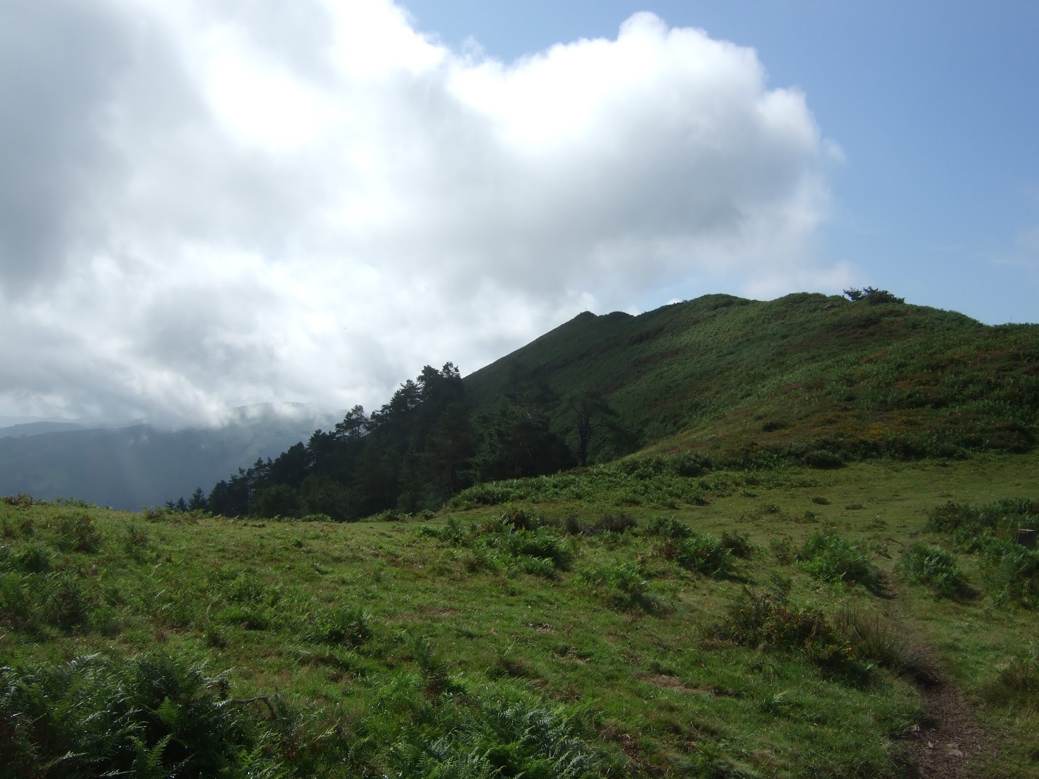
The incline becomes less severe and after coming out into the open again the trail leads on up to a beech wood 
La subida se pone más suave, y sale a campo abierto un rato antes de entrar en un haya
 
Some impressive trees in evidence
Hay algunos ejemplares notables


Instead of carrying along the signposted route I took a steep stony path up to the right to get to the top of the range. Clouds were advancing behind me.
Donde empieza a llanear la ruta balizada cogí una pista de piedras muy pindia hacia la derecha para ganar la divisoria

From the col I saw Tablau to my left
Desde el collado veía Tablau a la izquierda
Cdo del Hito la Piedra

 
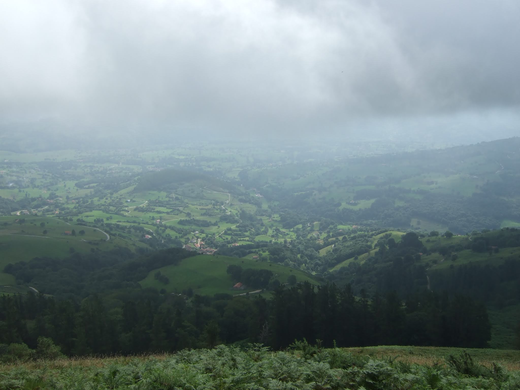
To the east the Carriedo Valley was also shrouded in mist
Al este el Valle de Carriedo apenas se veía debajo de las nubes
Valle de Carriedo

I walked along the top following the range to the left
Seguí el cordal hacia la izquierda

Lots of broom and heather
Genista y brezo en abundancia

After passing the highest point of the walk (Tablau), I started down another very stony path which took me round to the left. In front of me I could make out Villasevil and in the distance Soto-Iruz. If I hadn't done the Vía Verde, I would have had no idea what I was looking at!
Después de pasar el punto más alto de la caminata (Tablau), bajé por otra pista muy pedregosa donde hay que pisar con cuidado, que me llevaba hacia la izquierda. Delante distinguía Villasevil y a lo lejos Soto-Iruz. Si no hubiera hecho la Vía Verde, no habría sabido qué pueblos eran.

The paths are very pleasant for a bit
Durante un rato los senderos son muy agradables

But then become quite steep and not particularly enjoyable stony firebreaks. My plan had been to come down through Acereda but I didn't spot the right turning and ended up approaching Santiurde de Toranzo, farther north 
Pero luego se tornan muy pindias y me vi bajando por cortafuegos pedregosos. No disfruté mucho de la bajada, la verdad. Había planeado salir a Acereda pero no acerté con la senda y terminé yendo hacia Santiurde de Toranzo, más al norte

The Villegas Tower in Villasevil is the village's claim to fame. I may even go along and get a closer look one day...
La Torre de los Villegas de Villasevil se destaca a medida de que voy bajando
Villasevil

My attempts to get from Santiurde to Acereda without using the Vía Verde drew a blank so I walked to San Martín along the cycle path and then followed the road to Vejorís, forgetting there is a cyclists' path this side of the river I could have used.
I felt a bit disappointed to have missed out on Acereda and by the lack of views, but at least I'd taken advantage of a cool summer's day to get some exercise and walk through countryside I don't usually see in the summer months 
No conseguí encontrar un camino entre Santiurde y Acereda que no fuera la Vía Verde, así que seguí esta hasta San Martín y de allí a Vejorís caminé por la carretera. Olvidé que hay un carril bici este lado del río que podía haber usado.
Me sentía un poco decepcionado por no haber acertado en pasar por Acereda y por las vistas limitadas, pero por lo menos me había aprovechado de un día de temperaturas suaves para hacer ejercicio y ver paisajes que no suelo frecuentar en verano

The track:
El track:
                 https://es.wikiloc.com/rutas-senderismo/vejoris-tablau-79898852