domingo, 6 de febrero de 2011

Tollo to Tudes

At last! Good weather forecast and a chance to get into the mountains.

Monty and I headed off for the road that goes from Potes to León and I left the car between Tollo and Tudes - two villages near the Vega de Liébana. Unfortunately, on the first part of the hike we had to put up with the constant howling of dogs on the scent of wild boar, and passed several hunters stationed strategically on the track eager for a kill.

Not having been out since mid-December I felt pretty unfit, and we had to keep going fast to get out of the way of the hunting team. Added to that we soon encountered snow, which made the going heavier. The plus side though was that not long out of Tollo the Eastern massif of the Picos de Europa came into view and stayed with us all day long:


The ascent finished at Campu Largu, but I decided to walk up a hill to get a better perspective on the mountains surrounding us; Peña Remoña to Pico Cortés:


Coriscao in the centre of the shot


Looking S-W towards Peña Prieta


SSW: Curavacas in the centre if I'm not mistaken


Southwards to the Bistruey


The next photo shows where I was headed next, from right to left, with the Peña Sierra in the background


The pico Jaru in the centre of the photo, which I climbed last time I was in this neck of the woods


A frozen pond on the way


The hill which I had taken the previous photos from in the foreground


Campu Largu just to the left


Continuing along the ridge heading northwards now - luckily not as much vegetation as I'd anticipated


Tudes down below


The Sierra de Peña Labra (SSE)


Just to the right of the previous photo


This shows the contrast between the places that get the sun and those that don't


A view from the Mediajo, with Peña Vieja to the Samelar as a backdrop


Walking down from the ridge; Campu Largu in the centre of the photo


The ridge that I walked along from right to left


The track eventually came to Tudes, and a mile or so along the road my car was parked.

domingo, 30 de enero de 2011

Pyrenees August 2009

Work and weather have meant no walking in January 2011 so here's a look back at the summer of 2009 when I went to the Catalan Pyrenees.


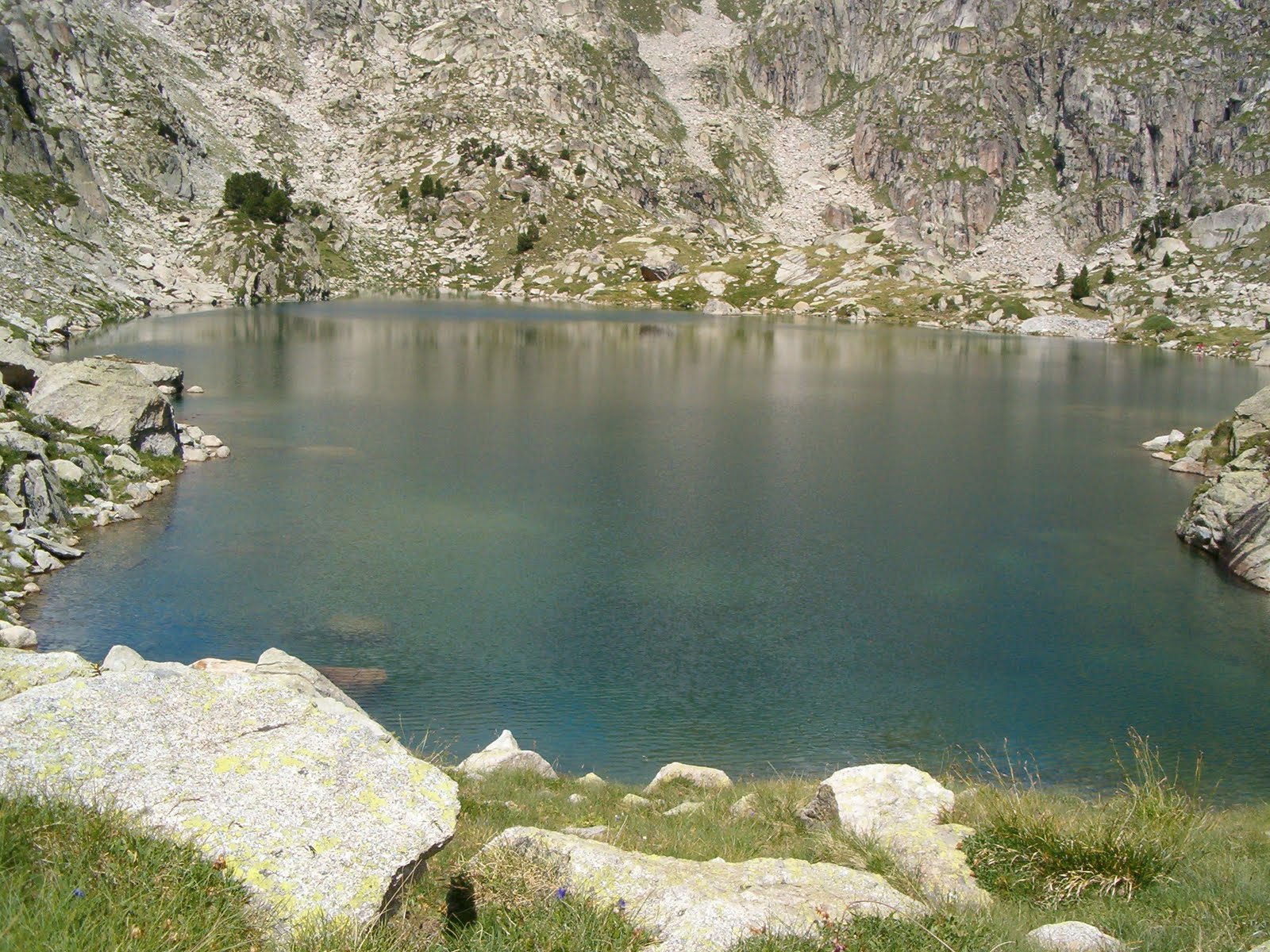
First some photos of a walk up the Peguera Valley to the "Estany Negre". "Estany" means lake in Catalan, and as you'll see from these photos, there are an awful lot of them in the "Aigüestortes" (twisted waters), which is the name of this National Park :


This is the Estany Tort de Peguera


The Estany Negre (2385mts)


Looking back down the valley towards the Estany de Lladres

The same lake as we passed by on the way down


Route number two was up to the Pic de Ratera. This photo was taken near the start of the walk.


"Els Encantats", the mountain which overlooks the famous Estany de Sant Maurici

The Ratera waterfall

Looking down at the Sant Maurici lake

More lakes as we ascended


The Pic de Ratera (2862mts)


Views from the top of the Ratera:


On the way down from the summit


"Els Encantats" in the centre of the picture show up against the mountains behind


About here is where I first felt a pain in my leg which turned out to be the tendonitis that kept me out of action till the following year...


The waterfall again

jueves, 23 de diciembre de 2010

Mullir in the snow

The Mullir is a mountain of modest height with two peaks in eastern Cantabria. I've circled it in this photo taken from the Pico Vizmaya earlier this year. To the right is Rocías/Mortillano.


I hadn't been up the Mullir for several years, but after recent snow at low altitude it was a good opportunity to see it and the nearby mountains from a different perspective
It was also an opportunity to give Monty his first experience of snow. Setting out from near the Fuente las Varas we got to the snowline at just 600 mts. In the next photo you can see Porracolina straight in front


From the north-west summit of the Mullir looking across to the slightly higher (845 mts) south-east peak


To the NE Santoña and Laredo


To get to the other summit I had to descend a little and then skirt round the rocks


The main summit soon came into view


Between the two summits is a depression called the Hoyo Llusa


Behind the Hoyo the Buciero and Laredo with the Alto de Candina to the right


Peña Rocías on the left and La Colina behind Porracolina


Characteristic layers of rock in the mountains round here. It's fun finding the gaps in the rocks to make your way up to the top.


From the summit, Santander to the NW and the previous summit straight ahead


Down below the valley of Matienzo and in the distance the Picos de Europa


The two summits of the Mullir


I walked back following a lower layer


Peña Rocías and Porracolina again in different light


Interesting formations in the limestone