jueves, 15 de julio de 2021

Alto las Verdianas: ¡A la 4ª la vencida! / At the 4th time of asking

Salimos del aparcamiento del Cdo de Hoja, confiando que esta vez la meteorología no nos impediría llegar a nuestro objetivo. Disfrutamos como siempre de las vistas bonitas de las sierras que rodean Bejes.
We set off from the carpark above Bejes, hopeful that bad weather would not intervene this time. As usual we enjoyed the views of the mountain ranges that surround the village.
Macizo de Peñarrubia

La Cerralosa

Peña Ventosa y Peña Sagra

Nunca puedo resistir sacar una foto de este abrevadero 
The most photographed water trough on these pages!  

En la última excursión por aquí renunciamos por la niebla y subimos el Cueto de la Llosa (centro-derecha) 
Last time we were here low-lying cloud prevented us continuing beyond the Puerto de las Brañas and we walked up the hill you can see centre-right before returning to base

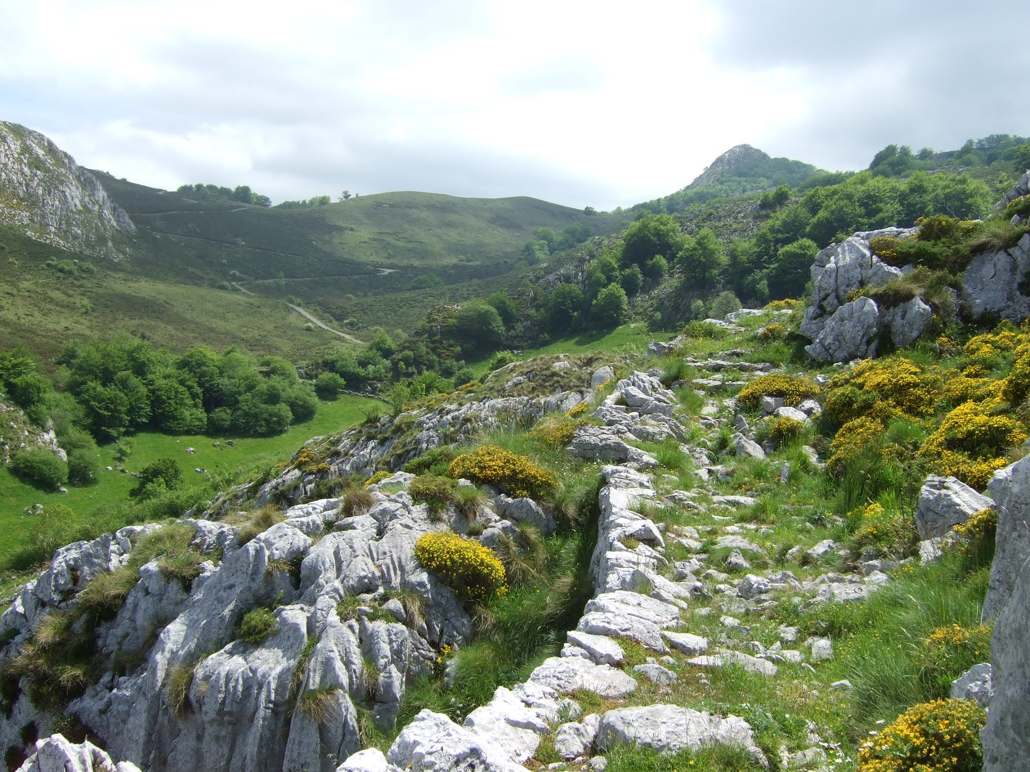
La entrada a la Canal del Valle
The entrance to the gorge
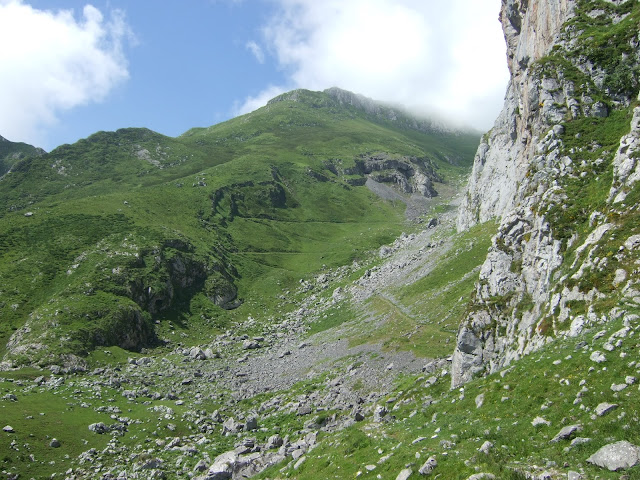
Pasamos un buen rato en un atasco de vacas que solo conseguimos adelantar un poco antes de la Canal del Valle
A bovine traffic jam held us up a bit and it took some time to get ahead of the herd 

La Canal del Valle

Desde el Cdo de la Llaguna en lo alto de la canal vemos como las nubes suben sin parar. Nos quitarán vistas pero no impedirán la subida
The view from the top of the gorge. The clouds were to take away most of the views but at least they didn't stop us in our ascent

La laguna esta en la parte izquierda del collado, pero hay que subir hacia el lado derecho para arrimarse a la Paré Corvera
There is a pool is on the left, which gives the pass its name, but to continue the walk you have to go up to the right and find a path at the foot of the cliffs

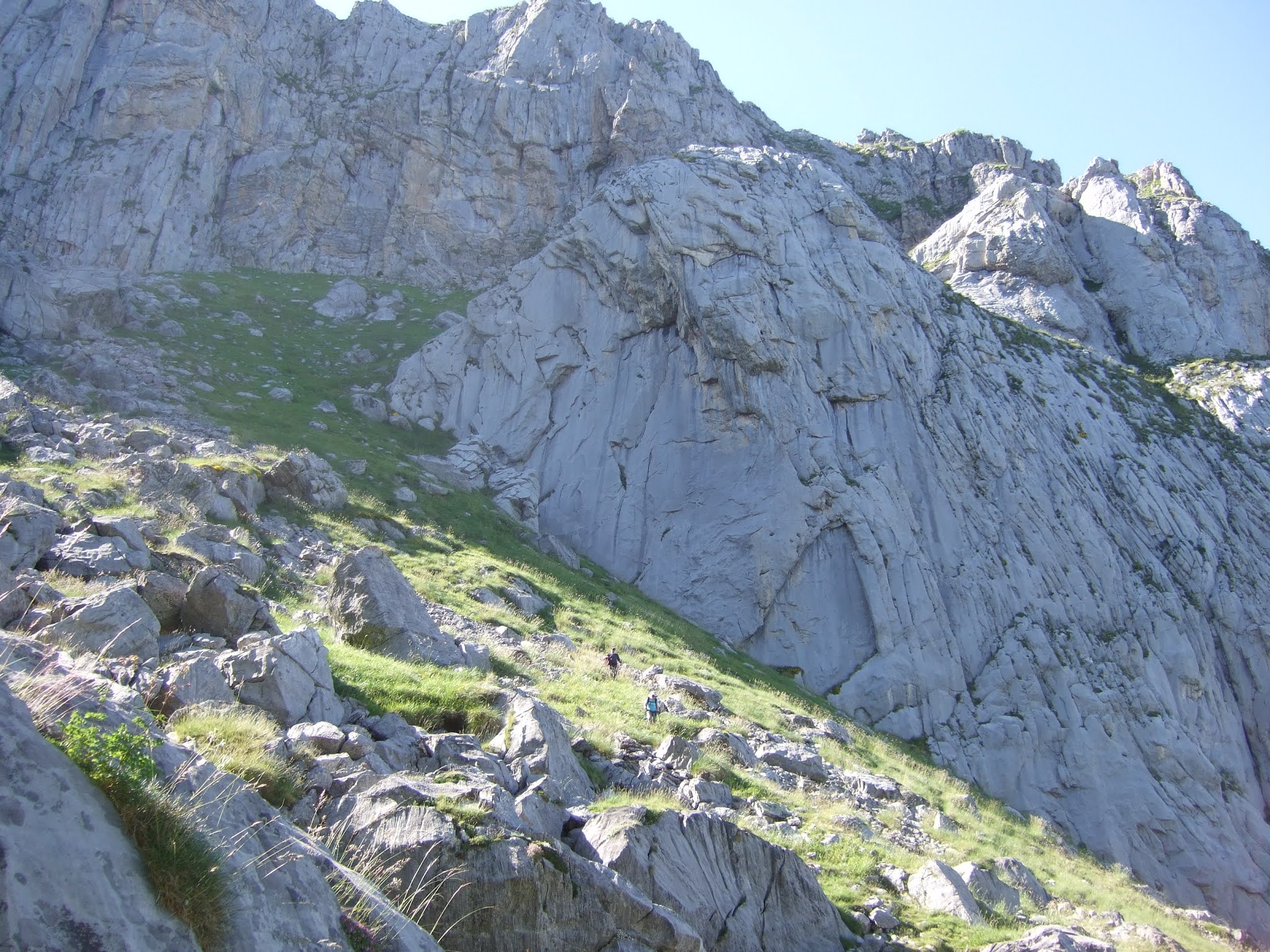
Vamos en dirección a la Canal de San Carlos, bordeando la pared hasta intuir el Rendijón, que ofrece una subida a la parte de arriba de la Paré Corvera. Antes de llegar hasta allí, sin embargo giramos a la derecha por esta entrada entre las rocas. Esta es la Hendida, que nos habían recomendado coger.
We follow the cliff westwards as far as a point just after going round a large rock, where a narrow entrance appears to our right. It's easy to miss as a more obvious gap in the cliff-face seems to be just ahead. This is the Hendida, and we'd been recommended to take it rather than the Rendijón just a bit further along.

En seguida el sendero nos lleva a esta perspectiva por encima de la pared
Very soon the path brings us to this point, with views above the cliffs

Giramos hacia la izquierda y vamos hacia la canal
We bear left and go up towards the gully

Es una trepada sencilla y divertida
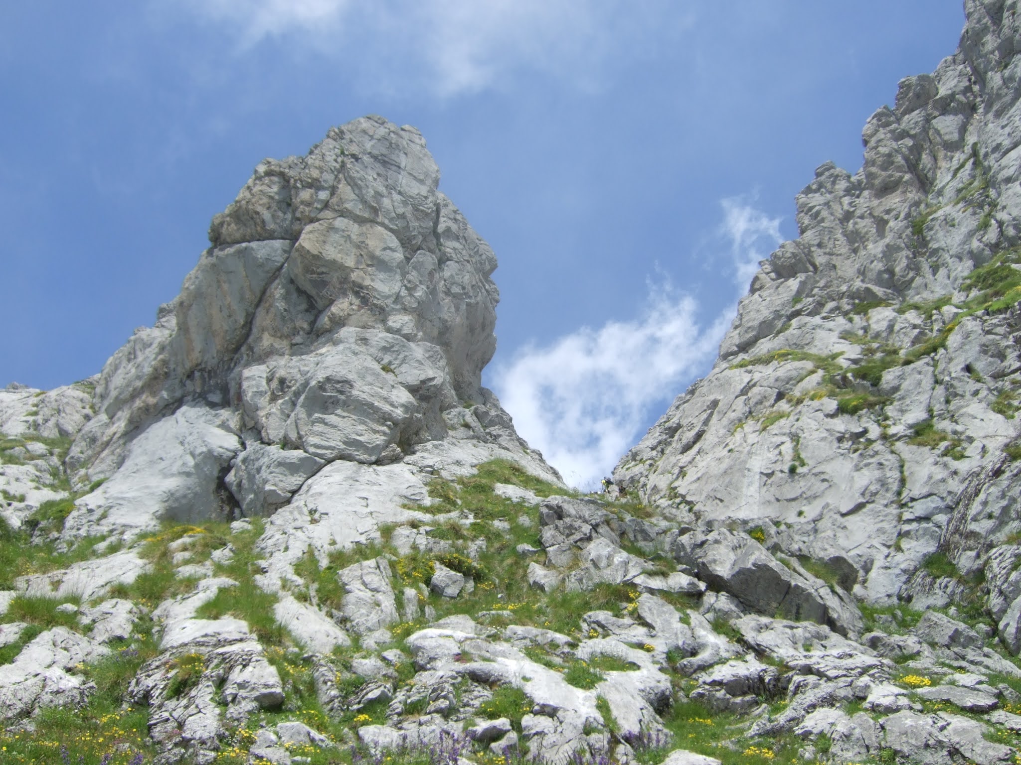
It's an enjoyable scramble up


Al salir de la Hendida, vemos el Samelar 
On coming out we see Samelar ahead of us

y una montaña más baja que visité la última vez que estuvimos en el Samelar
and a slightly lower mountain I explored last time we were on Samelar
Canto la Concha


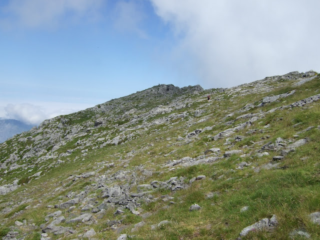
Fuimos hacia lo que suponíamos era la parte más alta de Paré Corvera (centro) pero cuando llegamos, nos dimos cuenta que habíamos dejado la cima atrás a la derecha
We walked up to what we supposed was the highest point of the clifftops (centre) but when we got there, we realised we'd left the summit behind on our right


Así que subimos un poco hacia la pila de piedras que indican el Alto las Verdianas. Tuvimos que esperar un rato hasta poder disfrutar de vistas parciales del oeste y el sur
So we made our way to pile of rocks that mark the Alto las Verdianas. We had to wait a while to be able to enjoy partial views to the west and south
Samelar


Mi idea había sido seguir por Las Becerreras, hacia el norte, y luego bajar hacia la derecha y alcanzar la pista en el Puerto de las Brañas, pero la nube nos iba a quitar las vistas
My original idea had been to descend by heading towards the north and then going down to the right so as to get back onto the trail we came up on, but the cloud would have left us seeing nothing


así que decidimos volver por la arista donde habíamos estado hacía pocos minutos y seguir hasta un paso que nos llevaría a la Canal del Valle otra vez
so we decided to go back along the ridge to where we'd been a few minutes previously and then continue as far as a pass that would take us back down to the Canal del Valle


Aparece el collado de la llaguna
The pool comes into sight down below
Collado de la Llaguna

Canal del Valle

y llegamos a Treslaparé, donde arranca el Sendero del Palo. No teníamos información sobre el estado de esta senda. La primera parte baja por una zona herbosa
We got to the point where the Sendero del Palo starts. We had no idea what this path was like except that it existed. The first part runs down a grassy slope

y luego hay alguna zona un poco expuesta antes de subir por la cuesta de la foto
and then a continuation where you have to be very careful not to miss your footing before making your way up the next knoll

Nada más empezar a bajar por el otro lado hay un destrepe que precisa de buena técnica o (como en mi caso) de piernas largas.  
As soon as you start the descent on the other side there is a tricky section to climb down which requires good technique or (as in my case) long legs. 

Luego a bajar, entrando brevemente al campo visual de un espectador hipotético en la Canal, antes de volver a subir. Finalmente la lengua herbosa te saca a espacios más suaves y se puede bajar a la Canal del Valle tranquilamente
Thereafter, you carry on down, reappearing briefly to a hypothetical onlooker from the gorge below, before going up the next grassy bank. Finally you reach a gentler section and can follow the grassy patch down to the left and make your way to the Canal del Valle

A esta foto de octubre del '19  he dibujado por donde va la parte del sendero que sería visible desde la zona alta de la Canal del Valle
On this photo from October '19 I've marked the part of the path that would be visible from higher up the gorge 


Y para acabar, la parte baja de la canal florida
A flowery conclusion, near the bottom of the gorge

Aunque el Alto las Verdianas es la cumbre más oriental de Picos de Europa que supera los 2000 metros no es especialmente vistoso. Lo más llamativo de esta ruta han sido los accesos al mismo. Y el hecho de que en otras ocasiones el no encontrar el camino, el viento o la niebla parecían haberlo convertido en ¡una montaña maldita! 
Finalmente, El Sendero del Palo no es una bajada recomendable para el senderista medio. 
Although Alto las Verdianas is the easternmost summit in the Picos de Europa to exceed 2000 metres, it doesn't really stand out. The most memorable part of this excursion were the points of access to and from the ridge. Added to that, after previous failed attempts, owing to not finding the gully up from the pool, the strong wind or the fog, it was satisfying to tick it off the list! 
N.B. The Sendero del Palo is not a path I would recommend to the average hiker.

 El track de la ruta:

jueves, 3 de junio de 2021

La Sierra del Hornijo / Spring in Soba (3)

Hacía tiempo que pensaba conocer la continuación del camino que en su día hicimos entre Riba y el Hoyo Masayo  . La última etapa de mis paseos por Soba tenía como base esa ruta, y para completarla añadí dos picos de la Sierra del Hornijo
Five years ago we did a walk from Ruesga up to the Masayo depression  . I had long been interested in seeing the continuation of that trail and it was the idea behind my latest hike in Soba. I added two summits to make for a full day's walking.
Empecé a caminar en San Pedro, otro pueblo de este municipio que no conocía, y que se encuentra al final de una carretera de 8 kilómetros que sube desde Regules
I began my walk in San Pedro, a village I'd never been to before, and which lies at the end of a 5-mile drive up from Regules
San Pedro de Soba

Ya desde la carretera se ve el perfil bonito de la Sierra de Rozas y los praos que la separan de la Sierra del Hornijo
Approaching the village, I was already taken by the lovely silhouette of the Sierra de Rozas that is separated from the Sierra del Hornijo (where I was headed) by green pastures

Aparqué delante de la iglesia y cogí un sendero que rápidamente me situó por encima del pueblo
I parked opposite the church and took a stony path that soon gave me a vantage point over the village
San Pedro

La subida es muy suave por terreno despejado, con vistas al Mazo Grande a la izquierda
It was a gentle walk up open land, with views of Mazo Grande on the left

y la Sierra del Hornijo a la derecha. El Pico del Hornijo se ve al fondo, alineado con un corte en las rocas que vería más de cerca al bajar
and Sierra del Hornijo on the right. The peak I was going to can be seen a little behind the nearer ridge, in line with the edge of an escarpment I would see close up later on
Pico del Hornijo

Después de mantener una dirección constante hacia el NO, cuando estamos a unos 1050 metros, cambié de rumbo y fui hacia el NE un subida suave siguiendo caminos de ganado. Al rato vi unos hitos y a partir de ahí comienza un terreno más rocoso, que a medida que va subiendo requiere la ayuda más a menudo de las manos
After keeping to the NW for a while, when we get to about 1050 metres elevation, it's time to change direction and head NE following cattle tracks. I made for a couple of cairns where the rocky landscape takes over. Thereafter it gets a little steeper and you need to use your hands to help you on your way, but it's an entertaining scramble - nothing difficult

Salimos a la cresta, y la cima se ve un poco más adelante
When you get up onto the ridge, you see the summit a little further on

Abajo el corte rocoso es bien visible. En el centro de la imagen está San Pedro
Down below the escarpment is clearly visible. San Pedro is in the centre of the picture  

Buenas vistas al Buciero y la Bahía de Santoña
Good views of Santoña Bay


Desde la cima, detrás de la cresta que recorrí se ve la parte superior de Mazo Grande y al fondo Peña Lusa, Castro Valnera y Picón del Fraile
From the summit, beyond the ridge I just walked along you can see the top of Mazo Grande and in the distance Peña Lusa, Castro Valnera and Picón del Fraile

Seguiré un poco más por la cresta para apreciar la Sierra de Rozas
A bit further along the ridge there'll be a better view of Sierra de Rozas

La parte más oriental de esa sierra es el Pico San Vicente
The easternmost side of that sierra is Pico San Vicente


Vuelvo a la cima. Hacia el oeste: Mortillano y Peña Rocías
Back to the summit: Towards the west are Mortillano and Peña Rocías

La amplitud del Valle de Soba, que he ido conociendo en mis últimas salidas. Satisface ver pueblos y conseguir reconocerlos gracias a excursiones anteriores: en la loma que sube en la parte derecha está Fresnedo, y enfrente (izq) está Herada
Below me lies Soba valley, which I've been exploring on my last walks. It's satisfying to see villages and recognise them from previous excursions


Desciendo por una senda que veo un poco más abajo que la ruta que cogí para subir y luego me dirijo al oeste, hacia el monte que es el siguiente punto en mi itinerario
I make my way down via a path that is a little below the route I came up and then head west, onto my next stop
Pico Tejes
No hay sendero hacia esta cima. La rodeé para encararla desde el NO. Aunque no es terreno cómodo, la subida es corta
There is no path to the top of Pico Tejes. I walked round the side to approach it from the NW. Although it's by no means straightforward, it's only a short ascent. Try to keep to the rocks as the grass may hide treacherous holes

Desde la cima hay una bonita vista hacia los Mazos Grande y Chico.  A la izq. del Mazo Grande se ven las cabañas de La Espina, cerca de las cuales pasaré a la vuelta
From the top you're rewarded with a view of the Big and the Little "Mazo" (mallet or pestle, depending on what you think might have been the origin of the names). I'll be going past those huts you can see on the left on my way back to San Pedro.

Picón del Fraile - Porra La Colina


Hacia el norte está el valle que voy a recorrer a continuación. El Buciero se intuye al fondo
To the north is the valley I'm heading down to next. You can just make out Buciero rock in Santoña Bay 

En lugar de bajar por donde subí, voy directamente hacia el norte a través de un pequeño hayedo. Más cómodo y sobre todo más bonito que la subida.
Rather than come down the way I went up I headed through the beech trees to the north. Simpler and prettier than the route I'd taken to go up

     Ahora en lugar de bajar directamente por la pista, cojo un camino que se dirige al oeste y Mortillano
     Now, instead of going straight down the track I took a trail that heads west

A unos 1070 metros lo dejo para coger un sendero a la derecha y la intuición me lleva hacia el fondo del valle, siguiendo caminos de animales. Cuando me acerco a la pista echo una vista atrás
At 1070 mtrs elevation I left it to take a path to my right and used my intuition to get down the valley, following animal tracks. Once I'm down near to the track I look back

Paso cerca de más de un grupo de caballos. Aquí la yegua con un par de potros
Nearby there are several horses. Here's a mare with a couple of foals

Yendo hacia el norte pronto llego al Hoyo Salzoso
Heading northwards I soon reach the first depression: "Hoyo Salzoso"

Lo bordeo por la izquierda, encontrándome con más caballos
I follow the trail round to the left, meeting more horses on the way

Un poco más adelante veo el Hoyo Masayo. En este punto salgo de Soba para entrar en Ruesga
A bit further on I spy Hoyo Masayo. I am now about to leave Soba and pass over into Ruesga

Al oeste están las faldas de Peña Rocías
To the west are the slopes of Peña Rocías

Ahora toca una bajada por un hayedo precioso
The path winds down through a beautiful beech wood


Y el camino acerca al caminante al Hoyo
And brings you to the depression

Después de una parada para comer doy la vuelta por el bosque
After a bite to eat, I turn around and head back up through the wood

Al salir del Hoyo Masayo, veo Pico Tejes al fondo
When I get out of the depression,  I see Pico Tejes up ahead

Subo por la pista y la dejo por la izquierda, pasando cerca de La Espina y comienzo una bajada campo a través con alguna coincidencia con el GR-74 hacia San Pedro. En un momento decidí seguir las indicaciones del GR que me acercaron a la barrera rocosa debajo del Hornijo
I now follow the trail up and leave it to head to the left, going past the huts in La Espina and then down the other side cross-country and occasionally seeing signposts for the GR-74 route. In fact I decided to follow the signpost when I was getting near San Pedro and that took me towards the escarpment below Hornijo

Conecté con la carretera que me llevaría hacia San Pedro y como despedida de Soba saqué una última foto del valle. Ya me resulta un lugar menos desconocido y ha sido un telón de fondo muy bonito para mis paseos durante esta primavera.
I got onto a concrete road that leads down to the village and took a farewell photo of the valley in front of me. Soba has provided a lovely backdrop for my walks this spring.

El track de la ruta (solo desde el 3er kilómetro):
The GPS track (not including the first 3 kms of the walk):