La primera parte de esta ruta al Naranjo de Bulnes ya la había hecho en más de una ocasión, pero no había subido fotos al blog. La vuelta ya aparece en una
entrada del 2012, pero la parte que más me interesaba es la conexión entre ambos caminos. Advierto que ¡esta entrada tiene más fotos de lo habitual!
This is not the first time I've done the walk up to the Naranjo de Bulnes, but it is the first time I've put photos up on the blog. The return walk is described in an
entry from 2012, but what most interested me was how the two routes connected up. I should warn that there are more photos than usual!
La salida desde Pandébano, cerca de Sotres, en un día caluroso. En el centro de la imagen se aprecia La Canal de las Moñas, por la que bajaríamos al final del circuito. Saqué una foto desde las rocas que se ven en el collado para que se pueda contrastar la perspectiva.
We set out from Pandébano, near Sotres in Asturias, on a very warm day. The centre of the picture shows the Canal de las Moñas, which we would come down at the end of the walk.

En la Tenerosa se ve que algunos senderistas van a la izquierda, precisamente hacia las Monas, mientras que nosotros habíamos decidido subir hacia el Cdo Vallejo y de allí a la Vega del Urriellu - una ruta muy frecuentada desde que acondicionaron el sendero hace unos 30 años. En este punta se aprecia el Picu (Naranjo de Bulnes) por primera vez. También, en el centro mismo de la foto se ve un helicóptero que lleva provisiones al refugio Urriellu.
The Naranjo de Bulnes (also known as Picu Urriellu) comes into view at this point, where some hikers veer left to go up to Las Moñas. We carried on along the path to the right, which has attracted many walkers since it was opened up 30 years ago. Right in the middle of the photo you can see a helicopter, taking provisions up to the refuge at the Vega de Urriellu, where we were going.

Abajo se ve el pueblo de Bulnes
The village of Bulnes down below

El Picu Urriellu impresiona independientemente de las veces que uno lo ve
The Naranjo has become the emblematic mountain of the Picos de Europa

Recuerdo haber subido esta canal muy pindia en una de mis primeras visitas a los Picos después de salir precisamente de Bulnes
I remember going up this steep climb you can see on the slopes opposite after one of my first visits to Bulnes and the Picos

Subiendo en diagonal se ve la continuación de aquella senda, (la Canal de Camburero) que también desemboca en la Vega de Urriellu
Here is the continuation of the same path, which makes its way up to the Naranjo

A la izquierda del Picu está la Torre del Carnizoso, y hacia ella nos encaminaremos más tarde
To the left of the Naranjo is the Torre del Carnizoso, towards which we would later go


Llegando a la Vega
In the Vega del Urriellu

El Urriellu bajo el sol
The Naranjo de Bulnes

Después de almorzar lo bordearemos, perdiendo unos 50 metros para entrar en la Canal de la Celada
After a bite to eat, we continued by skirting round the mountain, losing 50 metres as went

El sendero sube por la parte izquierda de la Canal
We then entered the Canal de la Celada

la segunda parte es muy empinada
The second half is pretty steep

Los compañeros de marcha
The companions on this walk

Al salir de la Canal nos dirigimos hacia la derecha para visitar el Jou Tras el Picu
At the top we headed right to visit the Jou Tras el Picu


The Naranjo seen from a different angle

Llegamos al Jou y saco las fotos que perdí hace unos años - salvo las de un rebeco que ¡se me acercó!
We reached the rim of the depression and I took the same photos I took several years ago but which were lost - what's missing are those of a chamois that actually came up to me!

Otra hacia la Collada Bonita
This is called the Collada Bonita


El fondo del Jou (que es un hoyo, causado por una combinación de glaciación y el efecto del agua en la roca caliza)
The bottom of the Jou (a depression formed through a combination of glaciation and because of the limestone prevalent in Picos)

La Cara sur del Picu
The south face of the Naranjo

Ahora volvimos al collado de la Celada
We now returned to the collado de la Celada

Ésta es la parte de la ruta que no conocía - baja por otro hoyo - el Jou del Carnizoso para luego subir hacia una zona verde que se ve aparentemente entre las rocas en el centro de la foto
This is the part of the walk I hadn't done before - it crosses another jou (del Carnizoso) before getting to the other side at the green spot that can be seen apparently in the middle of the rocks opposite

La bajada es cómoda - primero va hacia la derecha
It's a straightforward walk down - first towards the right

para luego zigzaguear hacia abajo
and then zigzagging down the rest of the way

Una mirada hacia atrás donde bajan los compañeros:
A look back to where the others are coming down:

Ya cerca del fondo del Jou nos mantenemos en el sendero que está a la derecha
We kept to the path to the right of the depression

La Torre del Carnizoso, con el Jou Tras el Picu a la derecha y el trayecto recorrido desde ahí
Behind us the Torre del Carnizoso, the Jou Tras el Picu to the right and the descent made from there

Después de subir un poco disfrutamos de esta vista de la subida hacia Bulnes.
Looking down to the left we were rewarded with this view of the path up to Bulnes

Ahora bordeamos la pedrera por la derecha y llegamos a la zona verde que habíamos apreciado desde el Collado de la Celada
Next we followed the path round to the right and up to the area of green we'd seen earlier on

Ese sitio se llama la Colladina del Valle del Agua, y las vistas son estupendas
This spot is called the Colladina del Valle del Agua, and affords wonderful views

Se ve desde la parte baja a la izquierda el sendero que acabamos de recorrer
On the left is the path we've just followed

Ahora toca bordear la base de Peña Castil para cruzar hacia la roca de enfrente
Now we walked round the foot of Peña Castil on our way to the rocks opposite

Esta es la bajada hacia el oeste
This is the valley that falls away to the west

Desde el Collado de Camburero avistamos el macizo oriental, con la Morra de Lechugales como punto más alto
From the Collado de Camburero we have this view of the eastern massif

Hay que retroceder un poco antes de seguir una senda que sube en diagonal por debajo de la Cabeza de los Tortorios
From there you have to retrace your steps till you find a path that ascends diagonally to the north

Y seguir cómodamente hacia el NE bajando muy suavemente
Thereafter a pleasant walk to the NE

Después de girar un poco a la derecha para evitar una zona más abrupta vemos al fondo lo que queda de la majada de las Moñas
Ahead of us lie the ruins of Moñas

El panorama hacia el NO
Looking NW

Atrás queda la Vega de los Tortorios, y la cima de Peña Castil, que se asoma por encima de la Cabeza de Moñas en el centro de la foto
Behind us is the Vega de los Tortorios, with the summit of Peña Castil just visible above the Cabeza de Moñas in the centre of picture

Éste es el punto que se aprecia en la primera foto de esta entrada. Abajo está Pandébano
From Moñas you can see right down to Pandébano, where we started the walk

Empezamos la larga bajada
And so we began the long descent

Poco a poco hay más verde y menos roca
Green gradually replaces grey as the predominant colour

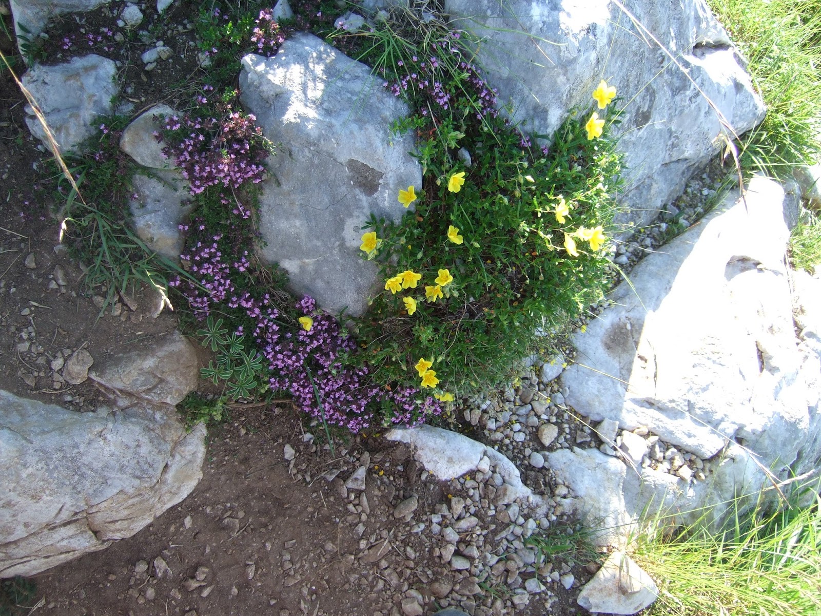
Y unas fotos bucólicas para acabar
A couple of bucolic photos to conclude
Sotres

Ternera o ternura ;-)
Untranslatable pun in English I'm afraid!

Rescato una foto tomada desde la cima del Castil donde se ve la Torre del Carnizoso y el Picu desde otro ángulo. ¡Qué pindia se ve la Canal de la Celada!
This is an old photo from the top of Peña Castil, where you can see the Torre del Carnizoso and the Naranjo from a different angle. The Canal de la Celada looks incredibly steep!
