Peña Lusa desde el norte (febrero 2008)
Peña Lusa from the north (Feb 2008)

Empezamos a andar 4 km antes de la Sía cerca de una curva de 90º. Subimos por el Hoyo Las Hojas, entre las dos paredes a la izquierda de la foto
We began our walk 4 kms before La Sía near a 90º bend. We went up the Hoyo Las Hojas, between the two rocks on the left

Efectivamente había muchas hojas (caídas) al principio
Lots of leaves underfoot at the start

Una subida empinada al principio pero muy bonita
Steep at the beginning but a lovely walk up


Las cabañas de Rulao detrás
Behind us is Rulao and the road up to the Sía


Salimos de la pendiente cerca de los árboles a la derecha de la foto y seguimos la subida ya mucho más suave por este terreno hasta el Alto de Tramasquera
We came out by the trees on the right of the photo and carried on up to Tramasquera across this terrain

Seguimos un sendero bien marcado hacia el norte que rodea el Copete de Tramasquera antes de empezar la ascensión, siguiendo los hitos por el lado oeste de Peña Lusa. Al fondo está Castro Valnera.
We then followed a well-worn path northwards before commencing the climb, following the cairns up the west side of Peña Lusa. Castro Valnera is in the background.

El camino gira bruscamente a la derecha y empezamos a subir directamente, pero sin llegar a la crestería, ya que los hitos nos llevaban otra vez hacia el NO en suave ascenso. Al fondo Peña Sagra y Los Picos
The path turns up to the right and we began a direct ascent, though not right up to the top as the cairns headed NW again leading us up gently. Peña Sagra and the Picos in the background.

Vemos que ya hay un grupo de montañeros en la cima. Esta subida me ha resultado más entretenida y menos aérea que la que hice una vez subiendo directamente hasta la antecima alargada.
There was already a group of mountaineers at the summit. This approach seemed more varied and less aerial than one I did some years ago straight up the south side then across the elongated fore-summit.

La niebla en los valles del sur había subido, dejando pocas montañas visibles encima de ella
The fog in the valleys to the south had risen, leaving just a few peaks visible above it
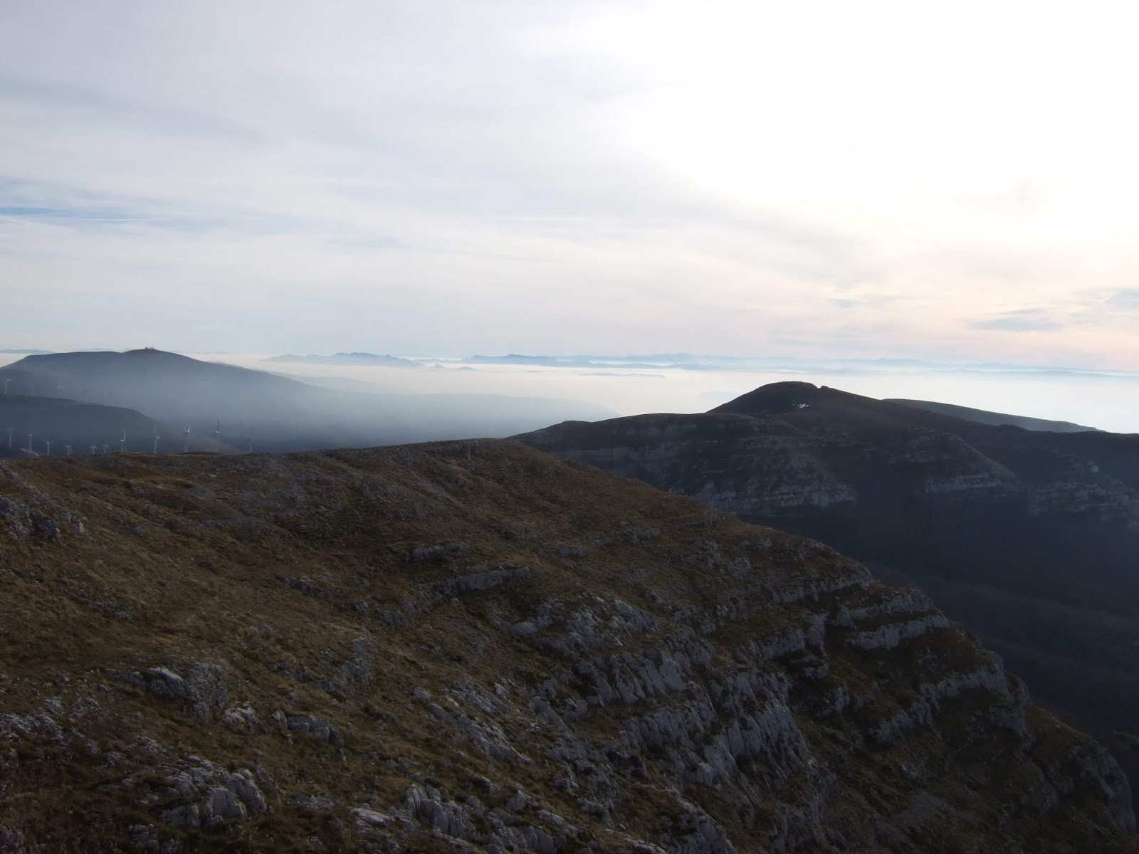
Se acercaba la bruma a Lunada
The mist was nearing Lunada

Hacia el NNO el Picón del Fraile. En primer plano se ven los hitos que seguiríamos para bajar al collado antes de seguir descendiendo por una senda clara a la izquierda
The Picón del Fraile to the NNW. In the foreground are the cairns leading down which we will follow shortly, before completing the descent via a clear path to the left

Al NO se veían apenas Porracolina y Porra de la Colina. El humo de un incendio quitaba nitidez, y la bruma que cubría toda Soba nos impedía disfrutar de las vistas que se aprecian normalmente desde esta montaña.
To the NW Porracolina and Porra de la Colina can be made out. A wildfire added to the lack of clear visibility caused by the cloud rising from the valleys, preventing us from enjoying the views over Soba.

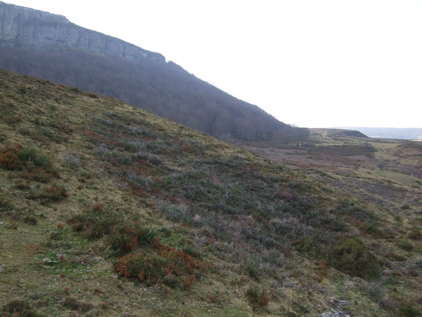
La senda baja por terreno muy bonito y sale aquí al oeste de la cima
The path down comes out here to the west of the summit

Delante están los Porrones de Lusa (o de Bustarejo en algunos mapas). Nos meteremos a la derecha justo antes de ellos
In front of us lie the Porrones de Lusa. We head for the gap to the right just before them.

Pasamos al lado de la roca entre Lusa y El Porrón oriental y vemos un hoyo apreciable delante de nosotros que bordeamos por la derecha, aunque se podría igualmente hacer por la izquierda
We go through the gap and find a depression in front of us, which we go round.

Después de avanzar unos metros al otro extremo de la depresión vemos otra que hace que la de antes parezca el hermanito chico. No entramos en el Hoyo Los Porrones, sino lo evitamos por la derecha, para luego bordear la última parte, como se ve en la foto siguiente. Hacia el norte se ve una estaca que indica el Portillo de las Escalerucas (lo he indicado con un círculo). Hay que andar hasta allí.
Almost immediately after this first depression we come upon a depression and a half. This is the Hoyo Los Porrones, which we avoid by going round to the right and then skirting the final part of the rim, seen in the next photo. To the north a (circled) signpost marks the Portillo de las Escalerucas. We head that way.

Al llegar allí miramos hacia el norte, desde donde saqué la primera foto de esta entrada
Once there we take in the view to the north, where the first photo on this post was taken

Las Escalerucas son una brecha entre las rocas que nos permiten salvar el desnivel
Las Escalerucas are a gap between the rocks


Vistas desde el lado norte
As seen from the north side

Entramos ahora en el Monte Busturejo, y seguimos un sendero que baja la cuesta y luego se dirige hacia la derecha
We are now in the Busturejo woods, and follow a path that runs down the slope and then heads right


Salimos a una zona de praos y andamos rumbo al SE, bordeando los árboles y la montaña detrás
We come out onto open ground and walk to the SE, with the woods and behind them the mountain, to our right

Una mirada atrás
A look back
y pronto llegamos a las cabañas de Carrascal
and we soon get to Carrascal

Siguiendo una pista salimos a la carretera. Subimos un km y medio hasta el coche. Justo a nuestra derecha vemos estos pedruscos a punto de caerse. Esperemos que no está pasando nadie por la carretera cuando esto ocurre... He avisado al Ayuntamiento de Soba.
Taking a track we reach the main road, leaving us with a km and a half's walk to the car. To our right we see these boulders about to fall. Hopefully when they do, nobody will be passing. I've contacted the people at the local Town Hall about it.

Para acabar, una foto de Peña Lusa y los Porrones de Lusa (al fondo a la derecha) desde el lado sur sacada durante una subida a Castro Valnera, con Pico la Miel en primer plano (enero de 2013).
Finally, a photo of Peña Lusa and Los Porrones de Lusa (on the right of the photo) from the south, taken on the way up Castro Valnera in Jan 2013.


