domingo, 25 de octubre de 2020

Los abedules y los pozos / Last walk of summertime

 Uno siempre intenta aprovechar el último día del horario de verano por esa hora extra de luz al final del día. Este año, aunque la previsión señalaba sol y viento, la realidad era nubes y viento, lo que impidió que la ruta planeada pudo realizarse completamente. Sin embargo los colores otoñales cerca de Cardaño de Arriba, de donde salimos, resultaban tan bonitas que la falta de buenas vistas a partir de 2000 metros no importaba.
With sunny and windy weather forecast, it seemed like an ideal last day of summertime to make the most of. What we got though was cloud and wind, which curtailed part of the walk we had planned. Mind you, the autumn colours  near the village of Cardaño de Arriba, which we set out from, were so beautiful that the lack of visibility above 2000 metres mattered not. 


Medio escondidas detrás de la nube en el centro de la foto están Las Agujas de Cardaño, que habrían sido el objetivo de la ruta
Half hidden behind the cloud in the centre are the "Cardaño Needles", which were to have been the high point of the day's walk

La ruta está señalizada hacia Los Pozos de Las Lomas, y no tiene perdida. Primero subida suave, y luego algo más empinada
The route is clearly signposted to Las Lomas pools. To begin with, gentle slopes, which then get a bit steeper

El Pozo más grande es el primero que se encuentra a unos 2050 metros. Había que aprovechar los momentos en que una nube reemplazaba otra para verlo bien
The largest pool is the first one you come to. I had to wait for a brief break in the clouds to get a half-decent photo

 
Unos cien metros más arriba está el segundo pozo. Desde aquí se ven bien Las Agujas (si las nubes están de humor, claro) 
A hundred metres higher up lies the second pool. From here you can see the Needles very well - if the clouds don't get in the way of course


No merecía la pena seguir hacia arriba porque no íbamos a ver nada. Así que bajamos, aprovechando un momento de claridad para ver mejor el lago 
There wasn't much point in continuing on up as we weren't going to see much. So we set off back down the path, making the most of a relative moment of clarity to observe the bigger pool 

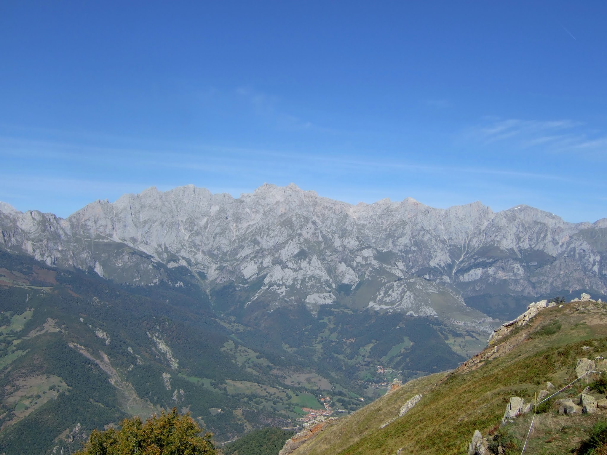
Esta es la falda del Alto del Tío Celestino, que lleva al caminante hacia Peña Prieta                         These are the slopes that lead up towards Peña Prieta, a mountain that marks the provincial limits between Palencia (this side) and Cantabria to the north

Descendiendo entre la retama                                                                                                           Walking down the broom-covered slopes

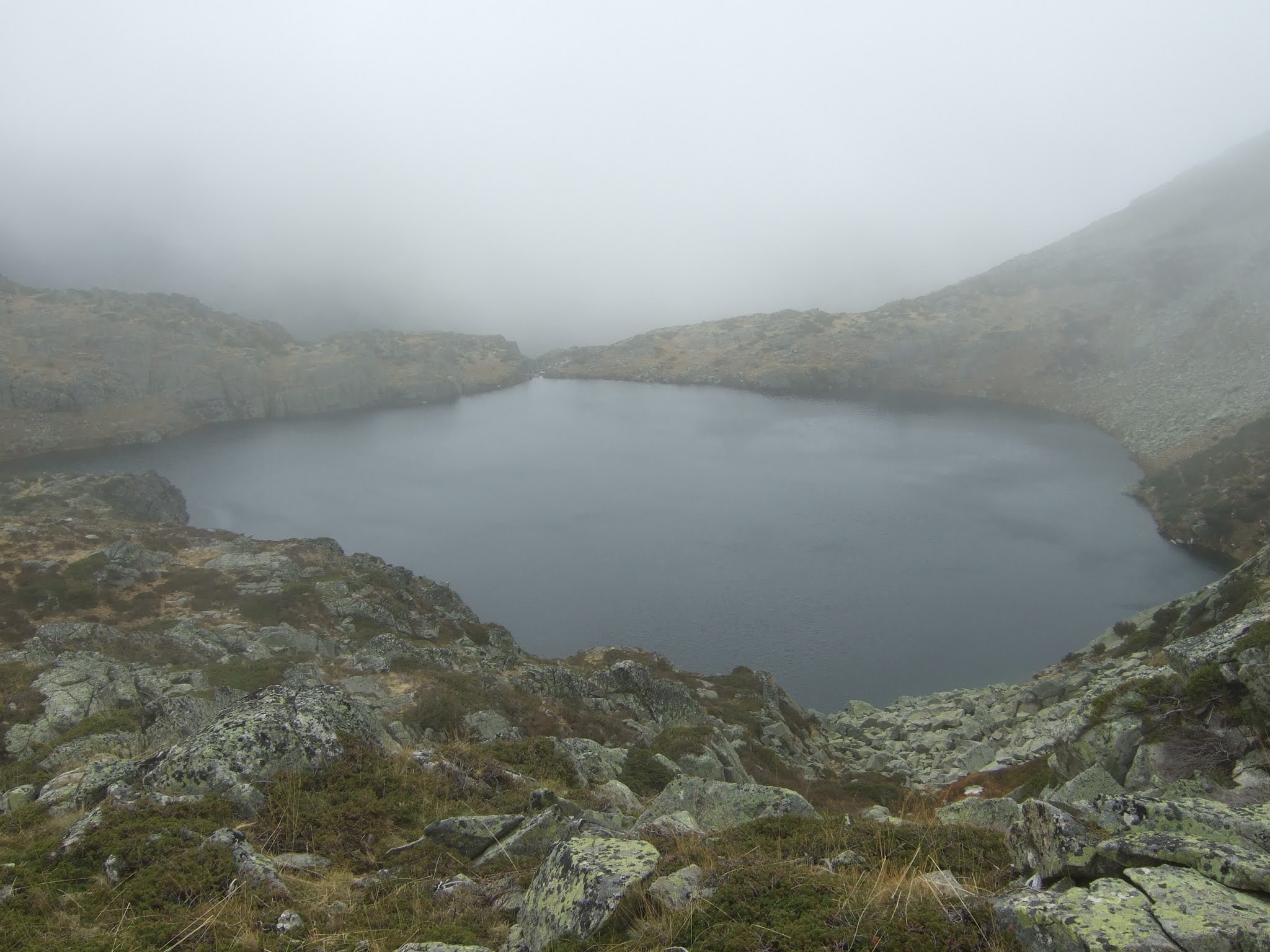
Hacia nuestra derecha está Pico Murcia, pero no se ve bien a causa de las nubes. Más a la izquierda el Espigüete está completamente escondido                                                                                                 To our right is Pico Murcia, but you can barely see it through the clouds

 Una mirada atrás. El manantial de Valmediano (centro) lleva agua del Pozo de las Lomas                        A look back. In the centre is the stream that runs from the pool

Más abajo cruzamos el arroyo de Valcabe                                                                                           Lower down we cross another stream

Y el resto del camino es un disfrute de los colores de otoño, sobre todo de los abedules - la verdad es que me quedé embobado con la belleza del entorno                                                                               And I spent the rest of the walk revelling in the autumn hues, especially the birch trees. I make no excuses for the number of photos that follow:


Un puente más y ya nos queda la última parte del descenso al aparcamiento                                         One more bridge and then the last part of the walk down to the car park

Bueno, parece que hemos tenido suerte en escoger ese fin de semana a pesar del cielo cubierto. Castilla y León ya está fuera del alcance de los que vivimos en Cantabria. 
Well, it turns out we were lucky to choose that weekend, as this part of Spain is now off limits for those of us who live in Cantabria.

domingo, 4 de octubre de 2020

Celebration walk/ Un día señalado


Leaving Enterrías on a lovely sunny day taking the track to Dobárganes
Empecé a andar en Enterrías, por la pista que sube a Dobárganes

In Dobárganes I had intended to walk down towards the main road to the bottom of the village and take the path up through the woods, but seeing a signpost (PR S-95) which offered me the chance to check out a new way up to Pico Jano I took that instead. The path came out at the pool I would have reached on the other side from the other approach.
Mi idea había sido bajar por Dobárganes hacia la carretera para coger la pista que sube por el bosque al oeste, pero al ver la señalización a Pico Jano por la PR S-95 cambié de planes. Llegué al estanque que por el otro camino habría alcanzado por el otro lado.

 I followed the path to the right straight up, crossing a tarmac track on the way. A pleasant walk through oak woods and meadow saffron
Seguí el sendero a la derecha hacia arriba, cruzando un camino alquitranado. Es un paseo agradable entre robles y azafrán silvestre (en esta época)


Coming out onto the summit of Pico Jano, with wonderful views in all directions:
La cima de Pico Jano ofrece panorámicas estupendas en todas direcciones:
Coriscao

Picos de Europa:
Urrielles: Peña Remoña...La Padiorna...Peña Vieja...

Urielles - Ándara: La Padiorna... Peña Cortés

Urrieles - Cumbre Abenas...Morra de Lechugales...Samelar

Sagrado Corazón... Peña Ventosa

Peña Ventosa; Sierra de Peña Sagra


Alto Campoo; Córcina, Bistruey

From the lower part of the summit
Desde la parte baja de la cima:
Pico Lezna; Curavacas; Peña Prieta


Heading down to the east. Clouds making their way in from the coast to the left of Peña Ventosa
Bajé hacia el este. Se ven las nubes a la izquierda de Peña Ventosa que se aproximan desde la costa


I followed a signpost down to the right towards Dobárganes, going down through a meadow before joining a track on the left for the rest of the descent to Enterrías, seen here with the road to Barrio and Ledantes in the background
Seguí la indicación a la derecha a Dobárganes, bajando por un prado antes de meterme en una pista a la izquierda que me llevaría a Enterrías, que se ve aquí con la carretera a Barrio y Ledantes al fondo


A short walk (4 hours) to one of my favourite spots in Cantabria; that's how I'll remember saying goodbye to the fifties.
Una caminata corta (4 horas) a uno de mis lugares favoritos de Cantabria; así recordaré mi despedida a los cincuenta