Monty and I headed off for the road that goes from Potes to León and I left the car between Tollo and Tudes - two villages near the Vega de Liébana. Unfortunately, on the first part of the hike we had to put up with the constant howling of dogs on the scent of wild boar, and passed several hunters stationed strategically on the track eager for a kill.
Not having been out since mid-December I felt pretty unfit, and we had to keep going fast to get out of the way of the hunting team. Added to that we soon encountered snow, which made the going heavier. The plus side though was that not long out of Tollo the Eastern massif of the Picos de Europa came into view and stayed with us all day long:

The ascent finished at Campu Largu, but I decided to walk up a hill to get a better perspective on the mountains surrounding us; Peña Remoña to Pico Cortés:

Coriscao in the centre of the shot

Looking S-W towards Peña Prieta

SSW: Curavacas in the centre if I'm not mistaken

Southwards to the Bistruey

The next photo shows where I was headed next, from right to left, with the Peña Sierra in the background

The pico Jaru in the centre of the photo, which I climbed last time I was in this neck of the woods

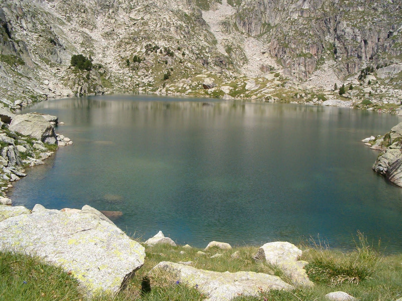
A frozen pond on the way

The hill which I had taken the previous photos from in the foreground

Campu Largu just to the left

Continuing along the ridge heading northwards now - luckily not as much vegetation as I'd anticipated

Tudes down below

The Sierra de Peña Labra (SSE)

Just to the right of the previous photo

This shows the contrast between the places that get the sun and those that don't

A view from the Mediajo, with Peña Vieja to the Samelar as a backdrop

Walking down from the ridge; Campu Largu in the centre of the photo

The ridge that I walked along from right to left

The track eventually came to Tudes, and a mile or so along the road my car was parked.