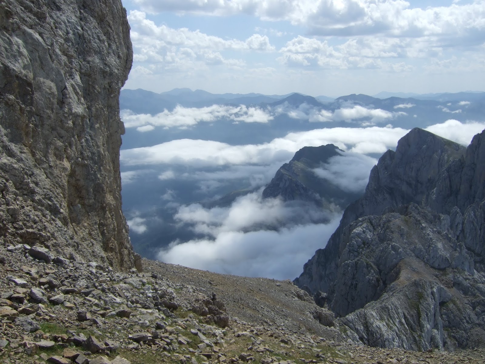
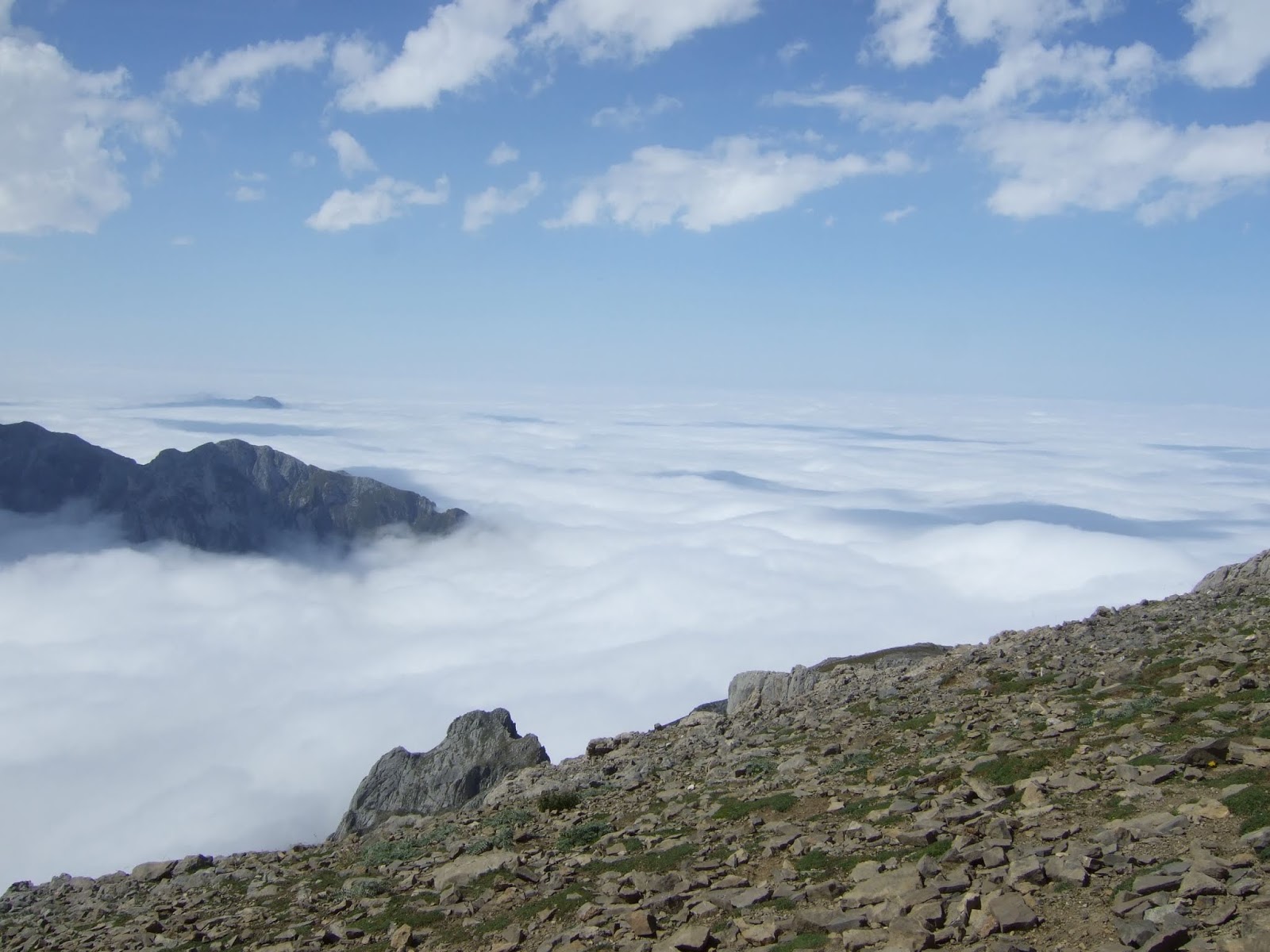
viernes, 4 de octubre de 2019

Polaciones (circular)

Dejé el coche al lado de la CA-281 donde el desvío que sube a Belmonte. Desde este pueblo pasé por Cotillos y seguí hasta La Cruz de la Cabezuela. La vuelta fue por Salcedo, el Cdo de Tresabuela y Sta Eulalia.  La mayor parte de la ruta está perfectamente descrita en el siguiente enlace:
The following link provides all the information needed to follow the walk I did - except that it's in Spanish. Even so, the map and photos may well be of use to those who don't speak the language. I've tried to include key info in this post in English that together with intuition, a compass and the occasional yellow and white signpost will hopefully suffice:

http://www.rutasytracks.com/foros/index.php?topic=5734.0

Por eso las indicaciones sobre cómo seguir la ruta solo las pondré en inglés.
I parked at the turnoff to Belmonte in Polaciones. 2 kms up the road to the village, with the view of Cueto Cucón gradually broadening to encompass the Peña Sagra range as far as the Cuernón and the village of San Mamés just opposite Belmonte. I had a pleasant chat with a couple of locals, who told me there are just 8 residents remaining in the village. I headed out of Belmonte to the SW.
Belmonte; Sierra de Peña Sagra
Después de salir de Belmonte no vi el poste con marcas en amarillo y blanco que hay en una curva a 1125 m y seguí para arriba. Llegué a este prao en mitad del bosque.
Following a signpost, I carried on straight ahead up a track. However, I missed a vital turning and went on up too far. It was worth it to see this bucolic meadow in the midst of the woods though.

Desde la parte alta del prao tenía esta vista. En el centro de la foto está el claro en que saldría por la tarde.
I continued up the track to the top of the field. Later in the day I'd find myself in the clearing you can see in the centre of the photo.
Anyway, I'd clearly gone too far so I walked back down through the meadow and down the track until I saw the yellow and white signpost I'd missed on the way up (1125 mts just after bend). A path leads off to the left (if you're walking up from Belmonte).
Cueto La Concilla y Cueto Helgueras

Bajé por el prao y seguí la pista hasta encontrar el camino que no vi antes. A partir de aquí la marcha transcurría por zona boscosa. Recomiendo el enlace mencionado antes para las descripciones pertinentes.
The next part of the walk goes through the woods, crossing a few streams on the way. Eventually you come to a fork, where you should bear right, then 50 yards later carry straight on at the next (following the yellow and white marks).

Not long after the previous photo there's another, less obvious fork up to the right and straight afterwards you carry straight on, ignoring a path up to the right. The path becomes a bit muddy and the going is made easier by skirting it on the left side. You then come out onto a field with a view of the Peña Labra range across the way. Just to the right a track begins, and this takes you down to the village of Cotillos.
Sierra de Peña Labra
En Cotillos tuve la suerte de entablar una conversación con una de los seis personas que viven allí de forma permanente. Me contó un poco cómo era la vida en el pueblo cuando era una niña y había más de 80 habitantes. Me había pasado algo parecido en Belmonte, donde me contaron que quedan ocho habitantes.
In Cotillos I was lucky enough to strike up a conversation with one of the 6 residents, who gave me an insight into what the village was like when she was a girl and there were over 80 people living there.
Cotillos

Just past the last building up the hill out of Cotillos I turned off the road to the right and went through first one gate to the west and then another, leading onto a track lined by oaks, passing through several gates as I went.

Eventually we are joined by a track coming down from the right, having now crossed over into Liébana. This woodland is the most beautiful part of the walk


Sierras Albas
We continue downhill towards a hut and an abandoned farm building, where we turn left, following a signpost.
Curavacas, Bistruey, Córcina, Peña Prieta...

Peña Labra


Finally we come out at the Cruz de la Cabezuela, with the statue representing the greeting between men from the Liébana and Polaciones valleys

A good place to stop for a bite to eat before crossing the road and changing direction to head NE down a grassy track towards the next village
Salceda

I didn't come across any residents as I made my way to a bridge that crosses the Verdujal. On the other side of the river logic dictates that you turn left, then head up right at a fork, and soon afterwards take the left track at a second one.
After going up a slight incline you get to a field with a perspective of the Polaciones valley to the north. However, you now change direction completely, continuing down the track to a stream. I crossed the stream near a cattle pen and walked up the bank on the other side so I was beneath the power lines. I then followed a faint path going in the same direction as the cables. The path ends under the 2nd pylon, but going into the wood you come across the trail you need to follow.


The trail takes you to a field with a hut in ruins, which you leave on your left and find the trail through the woods again with occasional views of the other side of the valley
Cotillos

A bit further on the Cuernón is briefly visible before being engulfed by clouds
El Cuernón de Peña Sagra
En el Collado de Tresabuela bajé por la pista hacia la izquierda en lugar de ir a Tresabuela. La dejé a 1030m en una curva y me metí en el bosque por un camino a la derecha. Va subiendo entre los árboles hasta salir al claro que mencioné antes a 1150 m. 
This pleasant walk through the woods comes out on a track. If you head down to the right, following the link I added at the start of this post you get to the village of Tresabuela. I turned down to the left though. It's mistakenly signposted to Salceda but actually leads to Santa Eulalia. I didn't go right down to the village yet however. At 1030mts I left the track at a bend and took a trail into the woods. This goes up to an elevation of 1150 mts, where it comes out into the open, affording views that would have been better were it not for the advancing clouds. (This is the clearing seen earlier from outside Belmonte).
Mirando hacia el sur; la CA 281 se ve abajo a la derecha.
Looking south, with the road up through Polaciones down to the right.


San Mamés

Al este la nube empieza a cubrir Cueto Helgueras
To the east Cueto Helgueras disappearing in the cloud.

El sendero sigue hacia el norte y entra otra vez en bosque. Según un mapa que he visto después termina en la carretera entre Pejanda y la salida a Belmonte. Sin embargo, no tenía esa información así que me di la vuelta. Una decisión acertada, ya que vi primero una cierva y poco después un ciervo que había oido berrear antes, que iban caminando por separado hacia un encuentro que parecía inevitable. Cuando ya no los veía, continuaba hasta la pista y luego bajé a Santa Eulalia.
The trail continues into a wood, and according to a map I've seen since eventually comes out between Pejanda and the Belmonte turnoff. However, I didn't have access to it at the time so turned back down the way I'd come. Fortunately, as it happens, as I witnessed first a doe then a stag I'd heard bellowing earlier on. It is the rutting season after all! They seemed destined to meet as in turn they disappeared from view. I left them to it and back on the track, headed down to Santa Eulalia.
Santa Eulalia
En lugar de entrar en el pueblo, cogí un sendero a la derecha al lado del río. Mientras tanto la nube bajaba a prisa. La senda sale a la carretera casi enfrente de la salida a Belmonte.
Instead of walking up into the village I took a path to the right alongside the river. Meanwhile the cloud was quickly descending. The path comes out onto the road just opposite the turnoff to Belmonte.

Nota a pie de página: Volviendo por Cabuérniga, paré para sacar esta foto del río Saja cerca de Barcenillas - no recuerdo haberlo visto así antes.
A footnote: on the drive back through Cabuérniga I stopped a moment to take this photo of the Saja river near Barcenillas - I've never seen it like this before.


lunes, 9 de septiembre de 2019

Morra de Lechugales


I posted an English version of this walk in August 2011 so this time round it's just in Spanish.

Salimos del Jito de Escarandi y pronto veíamos un mar de nubes detrás de nosotros hacia Tresviso


Llegamos al refugio, donde nos esperan los miembros de la "avanzadilla" y seguimos hacia la Collada de la Aldea donde subimos hacia la izquierda justo antes de una charca (de agua rojiza cuando no está seca). Poco después seguimos un sendero que sube hacia la derecha y continuamos en dirección al denominado Castillo de Grajal. En frente está el Pico Soriano con Boru detrás y Pico Valdominguero a la izquierda.


Detrás de nosotros está Mancondíu

Hacia el sur la Junciana y La Rasa.

Después de bordear La Rasa nos deleitan las vistas;
primero hacia el sur:

y luego al este:

La cara sur de La Rasa y La Junciana

Bordeamos el Hoyo del Evangelista siguiendo los jitos y marcas de pintura. Enfrente está La Silla de Caballo (Peña Sagra detrás)

Nos acercamos a la Morra de Lechugales, la cima más alta del macizo oriental.

El macizo central, con Peña Vieja a la izq. El Escamellau en el centro de la imagen, la Canal del Fresnedal a la der. y hacia abajo las Vegas de Sotres y la pista a Áliva


Nos encontramos en la base de la Morra. Desde este ángulo se intuye la subida. Hay que trepar por la parte de la derecha (hay una cuerda para ayudar) antes de seguir tranquilamente a la cumbre


Un servidor finalizando la trepada


El mismo sitio, visto desde arriba

Liébana desde la cima


 Al fondo destaca Curavacas

El Cumbre Abenas y Peña Cortés


De vuelta a la base de la Morra se ve como la nubes avanzan


La vista hacia el NO. Ya nos encontraremos inmersos en la nube a partir de la mitad de la bajada.


miércoles, 28 de agosto de 2019

Unfinished business / Asignatura pendiente


Back to Liébana. There was too much snow 6 months ago for me to attempt Zamburria, so I chose a coolish summer's day to return. This time I set off from Ledantes. The mountain awaits up ahead as I leave the village.
Volví al Valle de Cereceda para subir el pico de la Zamburria, que no pude hacer hace 6 meses por la cantidad de nieve que había. Esta vez salí de Ledantes. La montaña domina el valle hacia el sur.

Take the track past the cemetery, cross the bridge and keep left at the two forks. The second one goes down to the river and on the other side up into the woods. Thereafter is a long, steep track that, after the initial bend to the right, heads southwards, approaching Zamburria. Eventually the track starts to zigzag a bit more, with Picos occasionally visible through the trees
Hay que coger la pista que pasa al lado del cementerio, cruzar un puente e ir a la izquierda en dos bifurcaciones. La 2ª de estas baja al río y continúa hacia arriba al otro lado entrando en el bosque. A partir de una curva inicial a la drcha, la pista se dirige al sur, acercándose a la montaña. Después de bastante rato la pista empieza a zigzaguear y ofrecer vistas ocasionales de los Picos a través de los árboles.


I found it harder going than the walk up from Barrio. At about 1600 metres I'm treated to a view of Peña Sagra in the distance and Casanzo in the foreground
La subida desde Barrio parecía menos empinada que ésta. Salgo del bosque y veo Peña Sagra a lo lejos y Casanzo en primer plano.

Further to the right across to Córcina and Bistruey
Mirando un poco a la derecha vemos Córcina y Bistruey

Still a fair bit to do till I get to the top of Zamburria. Peña Prieta peeping up from behind
Todavía queda bastante para llegar arriba. Se ve Peña Prieta, que se asoma detrás de Zamburria

The foot of the mountain. I decide to follow the fence up to begin with, then look for the easiest route straight up through the heather. Later on I'll come down the ridge on the left.
El pie de la montaña. Decido seguir la valla para empezar, luego buscar el camino más fácil por el brezo para subir directamente. A la vuelta bajaré por la arista de la izquierda.

More than halfway up. Just opposite is Cohora and the ridge I went to in March. Beyond is Bistruey.
Después de subir un buen rato veo detrás de mí Cohora y la cumbre del Cordel, donde estuve en marzo. Más allá, el Bistruey.

From the summit the impressive Peña Prieta
Desde la cima, Peña Prieta

Picos de Europa

 Robadorio

Looking down on Ledantes and the woods I walked up through
Abajo está Ledantes y el bosque por el que subí

The summit on the left, with Curavacas on the right
la cima a la izq. y Curavacas a la derecha


I continue a bit down the ridge to the SW. Pumar and Lezna stand out on the left. Behind and just to the right of those is the Peña Carazo ridge, which I was on the week before
Sigo un poco, bajando hacia el SO. Picos Pumar y Lezna están a la izquierda, y desde aquí veo el collado de Hontanillas y parte de Peña Carazo justo detrás de Peña Lezna. Estuve allí una semana antes


I make my way down a path, keeping to the right. Below me to the north is Río Frío (Cold river)
Desciendo siguiendo un sendero que aparece en la arista sur. A mi derecha veo el Río Frío

I come down Cuesta la Rebeca to get back onto the track
Para volver a la pista bajo por la Cuesta la Rebeca (este nombre he visto en un mirador que hay en la carretera que baja a La Vega)


The heather is in full bloom as I retrace my steps towards the woods and Ledantes.
Qué bonito se ve el brezo mientras me acerco de nuevo al bosque para bajar a Ledantes